Welcome to the GeoAI and Natural Hazards Lab! We are a research group located within the Department of Geography at the University at Buffalo (UB), The State University of New York (SUNY). We are also affiliated with the UB AI and Data Science Institute and the UB Center for Geological and Climate Hazards. We integrate geospatial data, GIS, and AI methods to study natural hazards and human-environment interactions, and to address related societal challenges. The natural hazards and disasters we have studied include wildfires, winter storms, and hurricanes.
We conduct two types of research:
- Knowledge-discovery research that helps address hazards-related challenges
- Methodological research on GeoAI and GIS methods
An overview of these two types of research and their relation is shown in the figure below. Together, we hope our research contributes to building a more resilient future society.
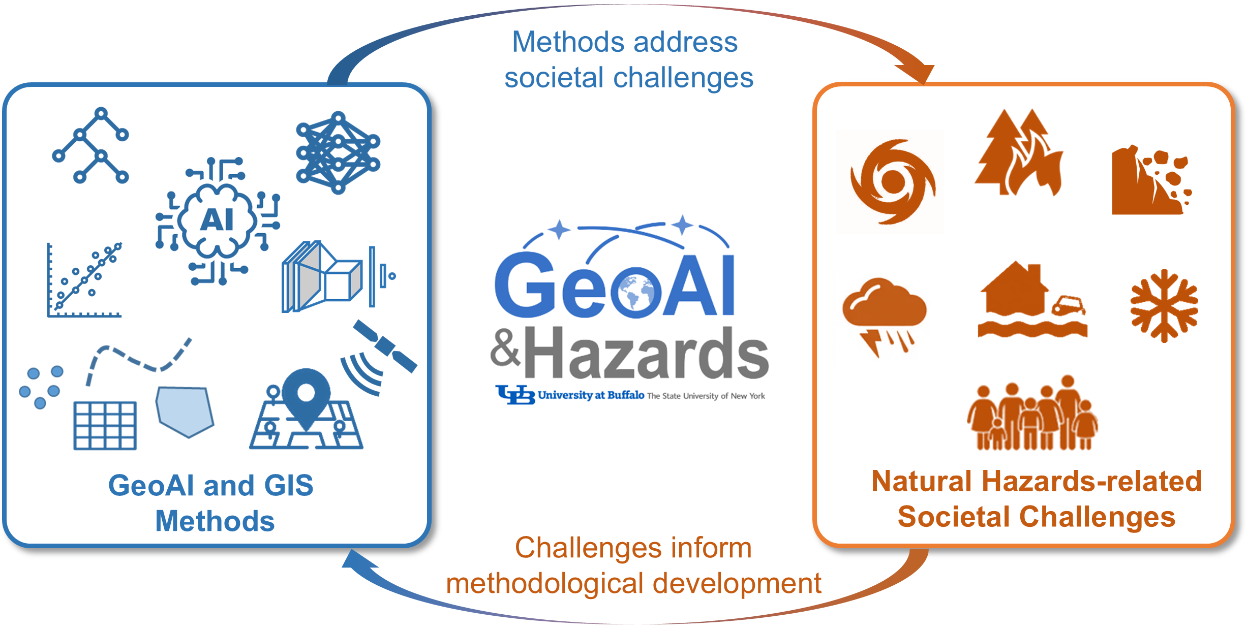
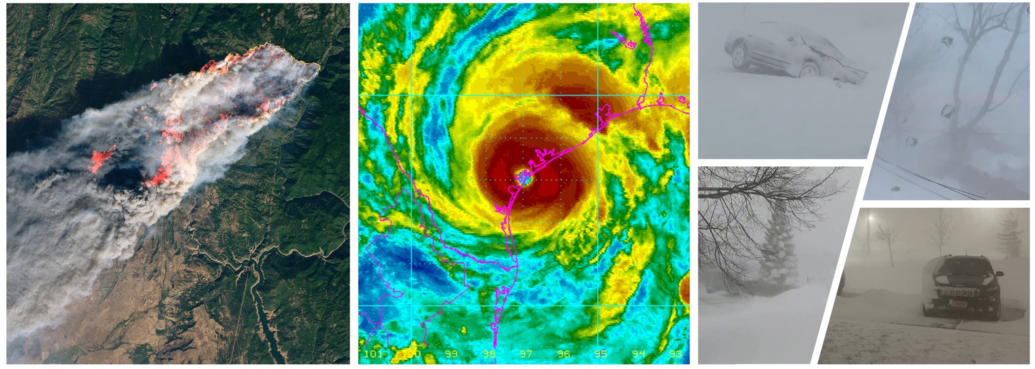
Knowledge-discovery research that helps address hazards-related challenges: Our research in this area uses geospatial AI and GIS methods, along with geospatial big data, to advance knowledge of natural hazards and human-environment interactions, which can help address challenges related to hazards and disasters. There is an increase in the frequency and intensity of natural hazards. Meanwhile, geospatial big data, such as remote sensing images, weather and climate data, anonymized mobile phone location data, and social media data, capture many aspects of our human-environment system under a disaster context. Our research has investigated multiple major disaster events, such as the 2017 Hurricane Harvey, the 2021 Texas Winter Storm, and the 2023 Hawaii Wildfires.
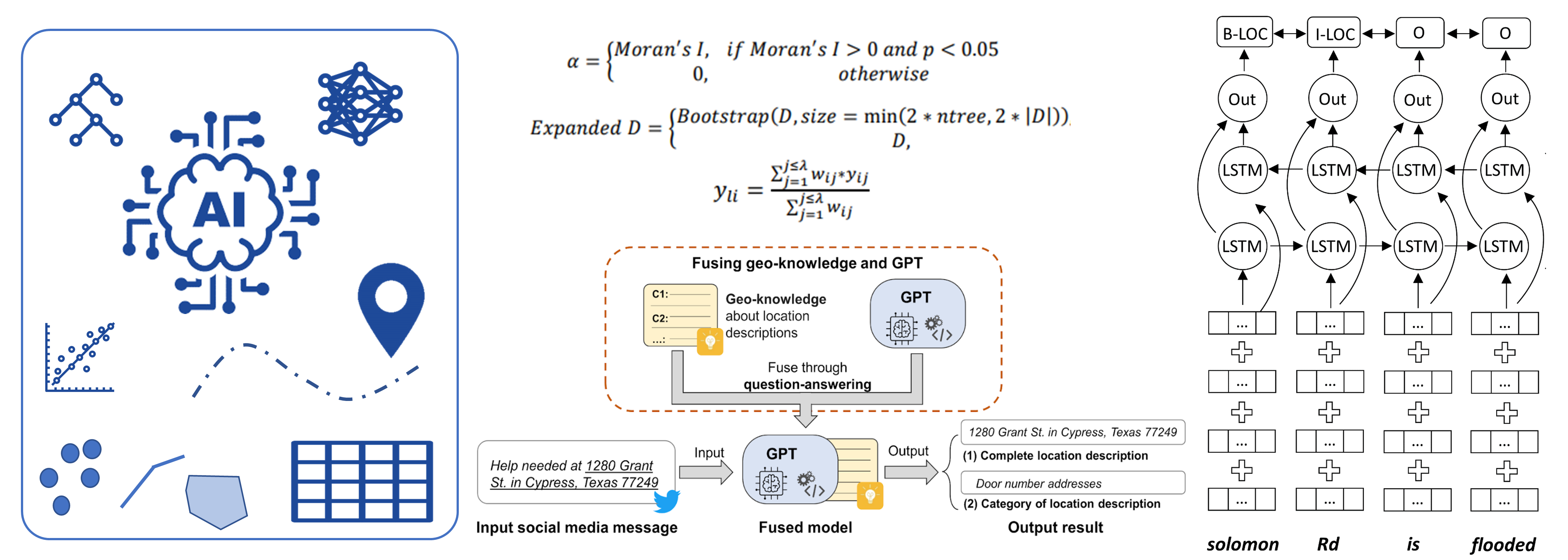
Methodological research on GeoAI and GIS methods: Our research in this area aims to improve existing GeoAI and GIS methods or to develop new methods and tools when necessary. These methods and tools can increase our ability to analyze geospatial data and enable us to better address hazards-related societal challenges. Examples include geo-knowledge-guided large language models (LLMs) for disaster-related location description extraction, a Python based geographical random forest model (PyGRF), and a geospatial data annotation tool called GALLOC.