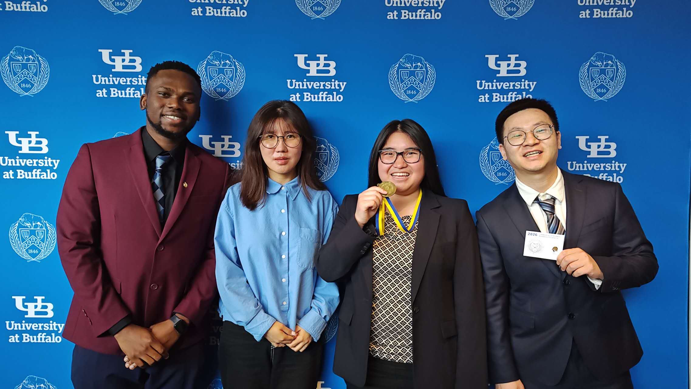
Lab members Jiyeon Kim and Ryan Zhou received UB Excellence in Research, Scholarship and Creativity Award for their paper, “Assessment of deep learning models integrated with weather and environmental variables for wildfire spread prediction and a case study of the 2023 Maui fires”, published in the journal Natural Hazards (see full paper here).
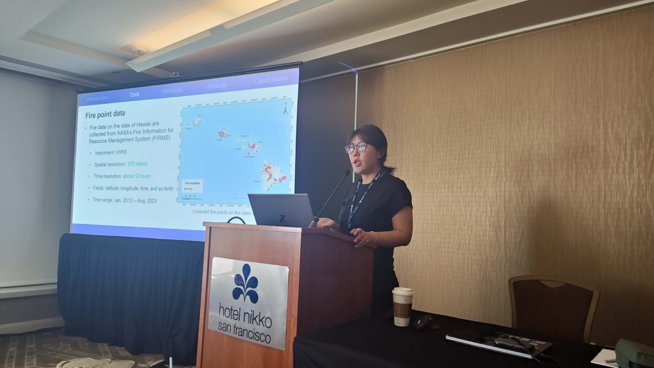
Jiyeon presented this paper at UB’s Annual Student Showcase:
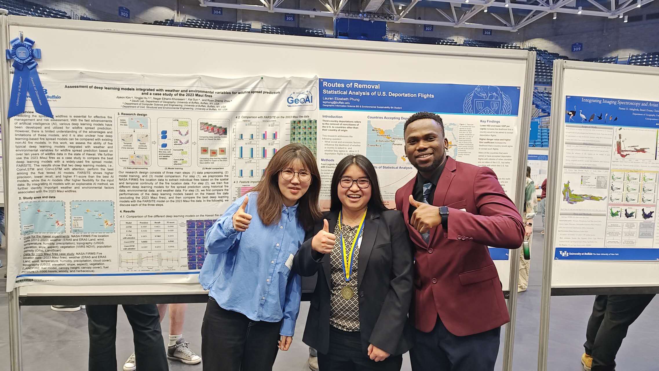
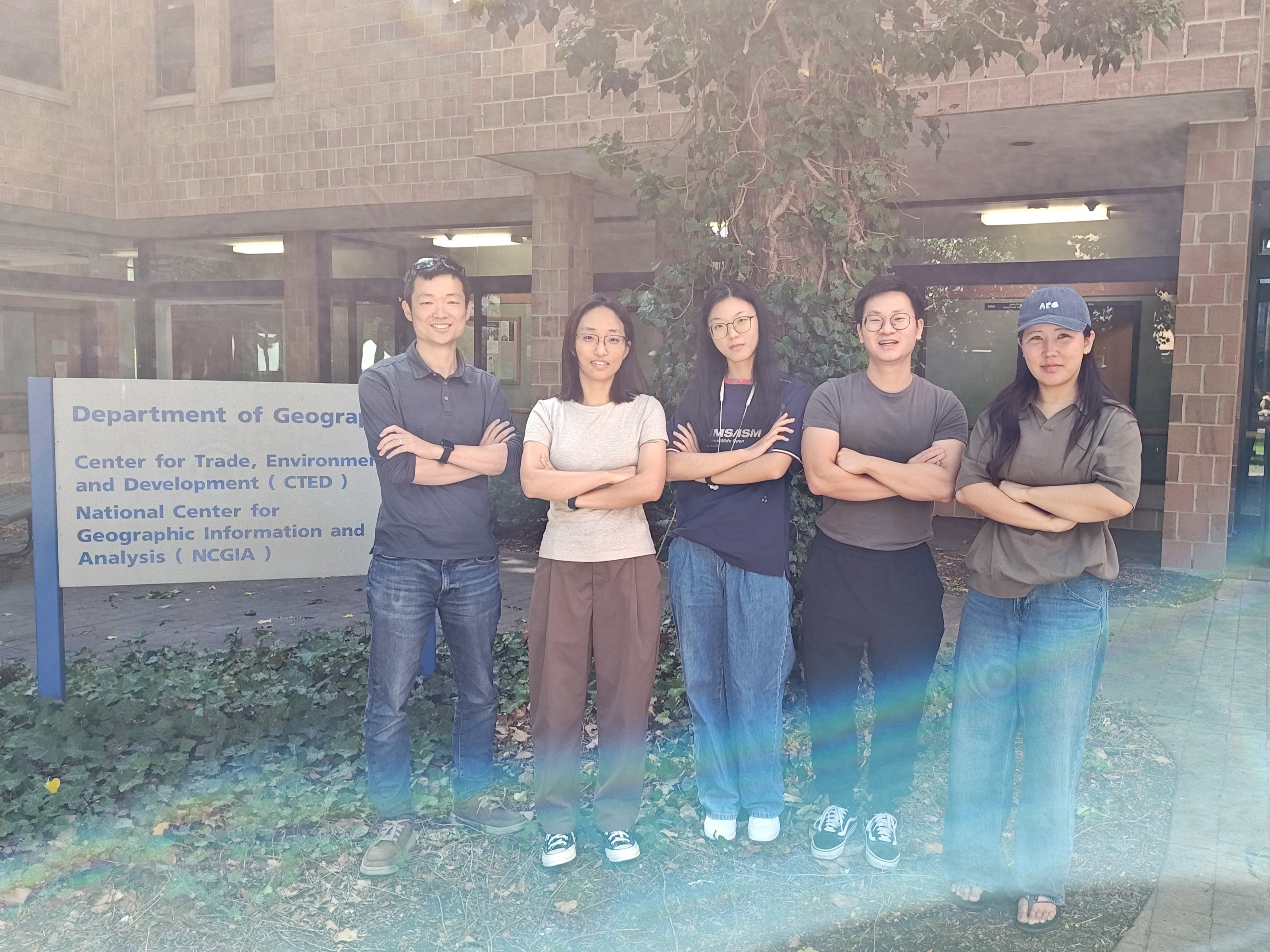
Jiyeon and Ryan receiving the awards, along with two outstanding students in UB Geography. In the photo below, from left to right: Festus Adegbola, Jiyeon Kim, Lauren Phung, Ryan Zhenqi Zhou.