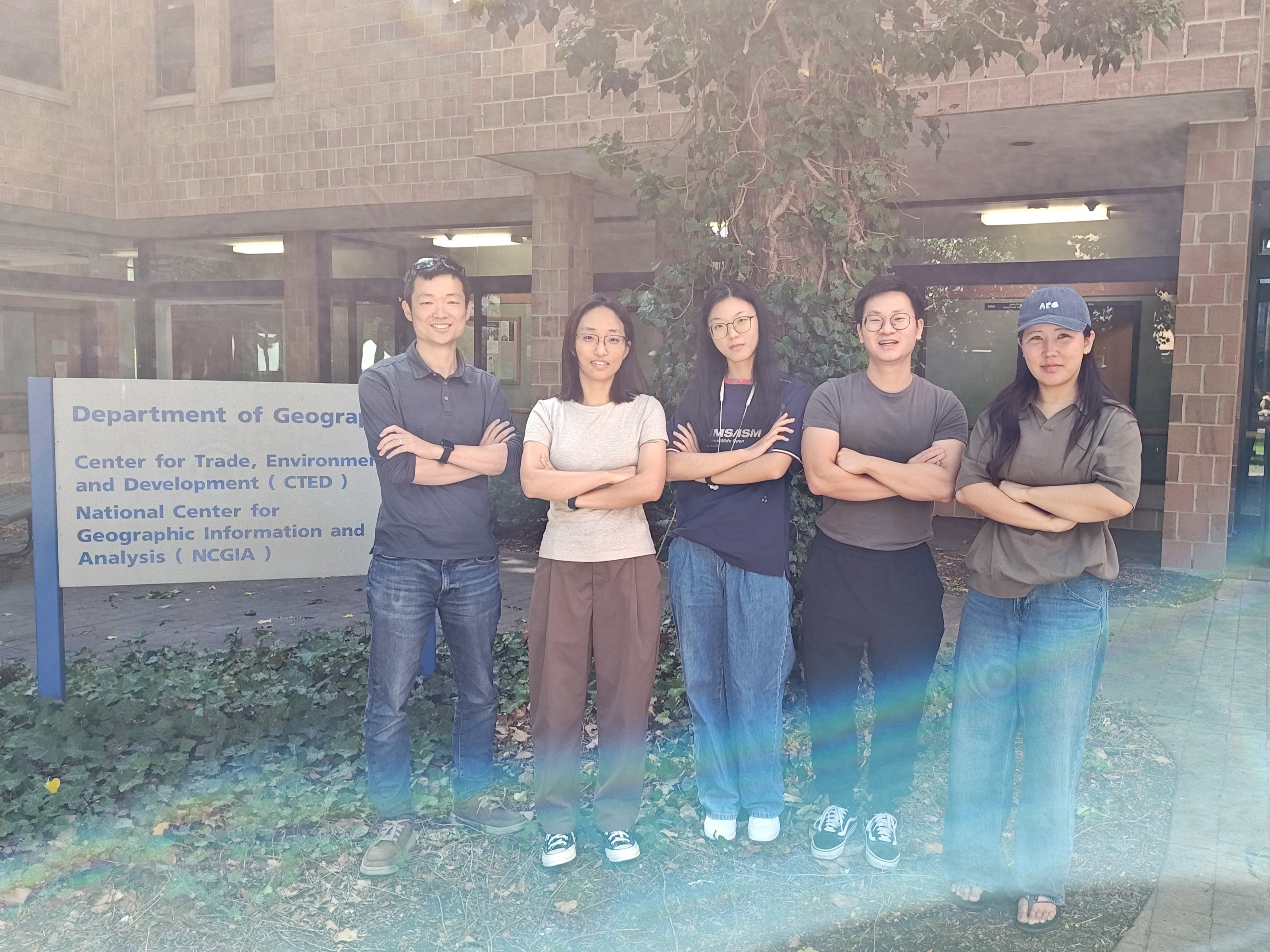
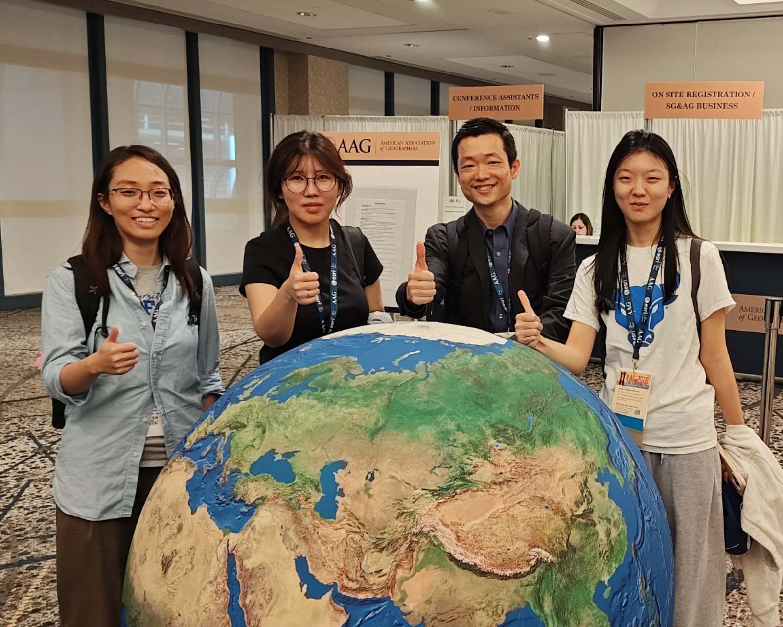
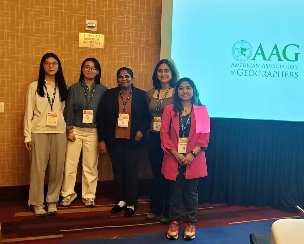
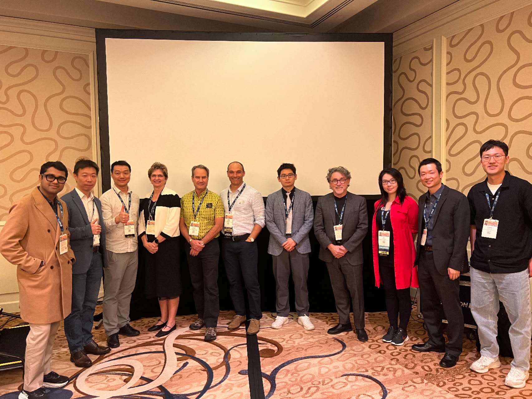
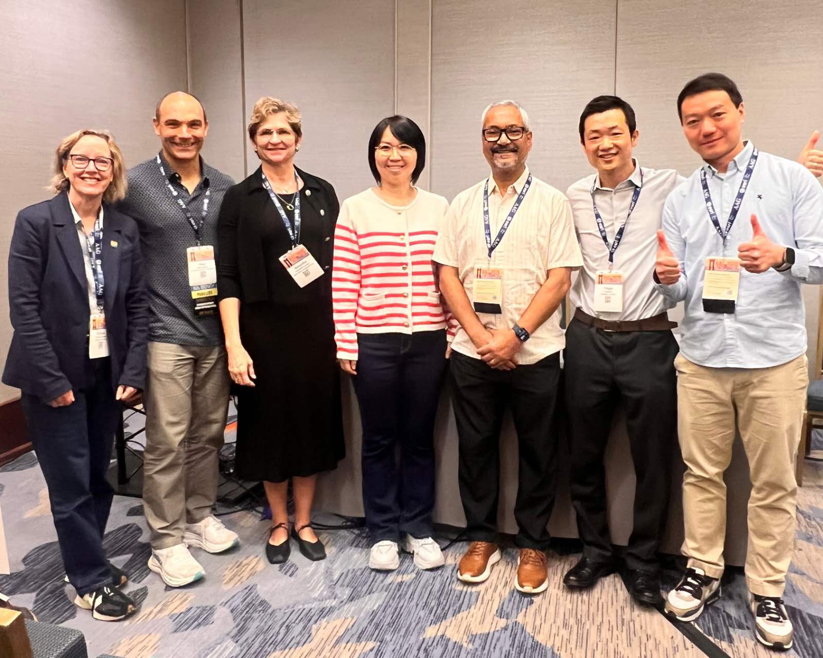
Our GeoAI lab members attended the 2026 Annual Meeting of AAG in San Francisco in March 16-20, 2026.
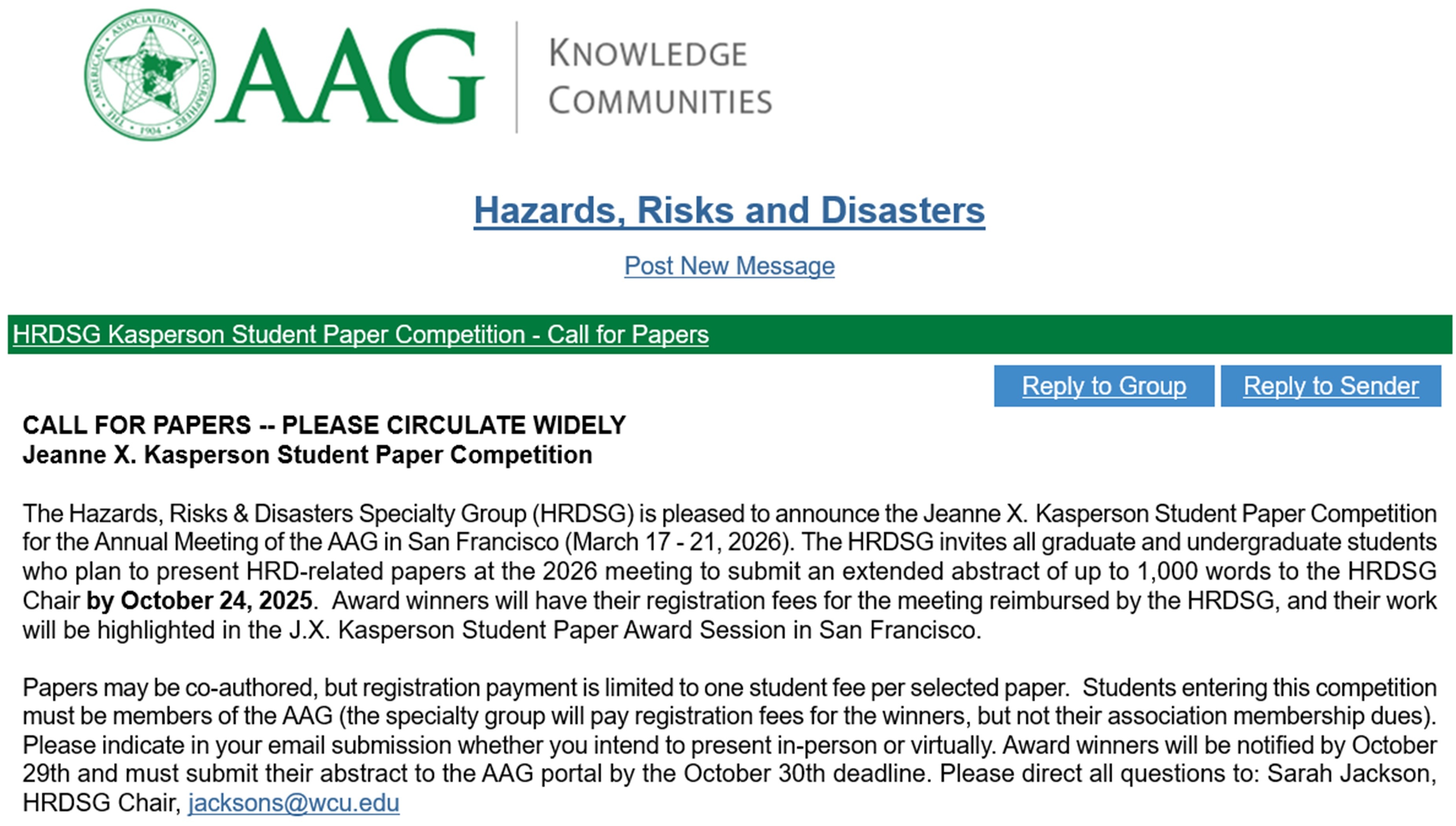
Group member Liyue Zhang presented her work on an online survey of disaster Facebook group during the 2022 Buffalo blizzard. She and four other students won the Jeanne X. Kasperson Student Paper Award from the AAG Hazards, Risks, & Disasters Specialty Group.
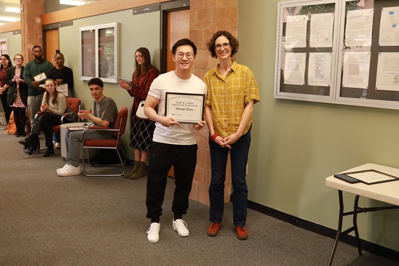
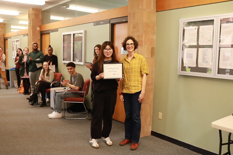
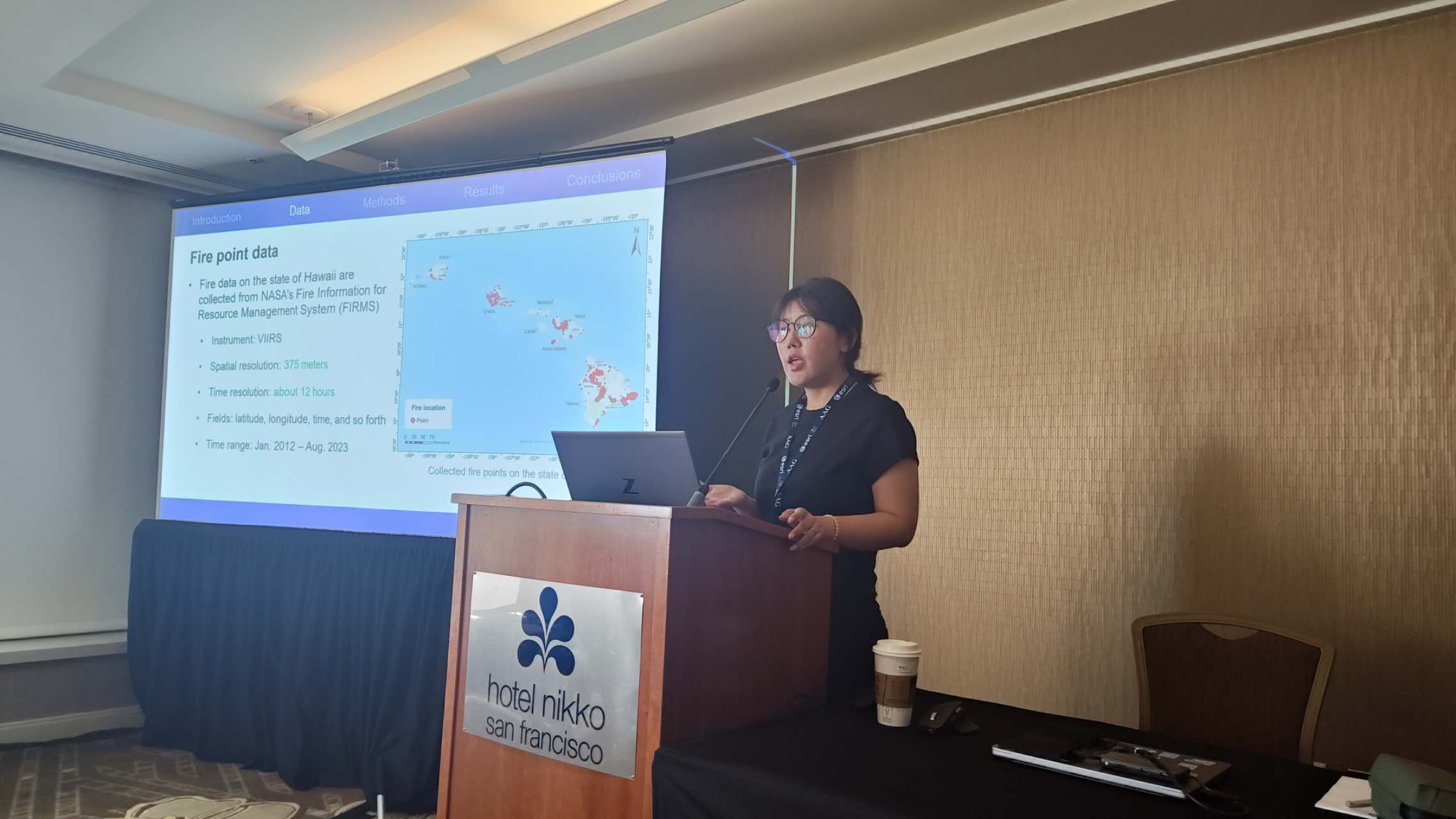
Lab member Jiyeon Kim presented her work on GeoAI and wildfire spread prediction.
Yingjie Hu presented in two invited panel sessions:
– Past, present, and future of GIScience
– Movement analytics in the era of big data, AI, and open science
In addition, Yingjie Hu also organized the AAG GISS specialty group Waldo Tobler and TGIS Distinguished Lecture in GIScience, and the GeoAI Symposium panel on Advances and Potential Risks in GeoAI Research.
It’s a great conference. We look forward to the event next year!