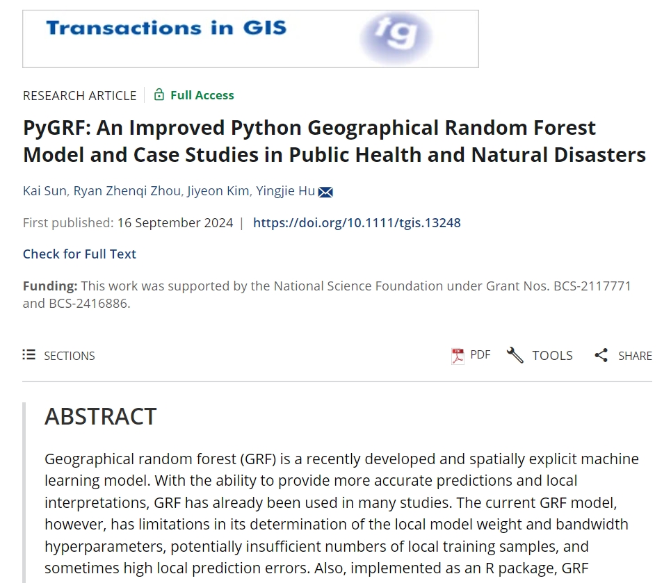
Abstract: Geographical random forest (GRF) is a recently developed and spatially explicit machine learning model. With the ability to provide more accurate predictions and local interpretations, GRF has already been used in many studies. The current GRF model, however, has limitations in its determination of the local model weight and bandwidth hyperparameters, potentially insufficient numbers of local training samples, and sometimes high local prediction errors. Also, implemented as an R package, GRF currently does not have a Python version which limits its adoption among machine learning practitioners who prefer Python. This work addresses these limitations by introducing theory-informed hyperparameter determination, local training sample expansion, and spatially weighted local prediction. We also develop a Python-based GRF model and package, PyGRF, to facilitate the use of the model. We evaluate the performance of PyGRF on an example dataset and further demonstrate its use in two case studies in public health and natural disasters.
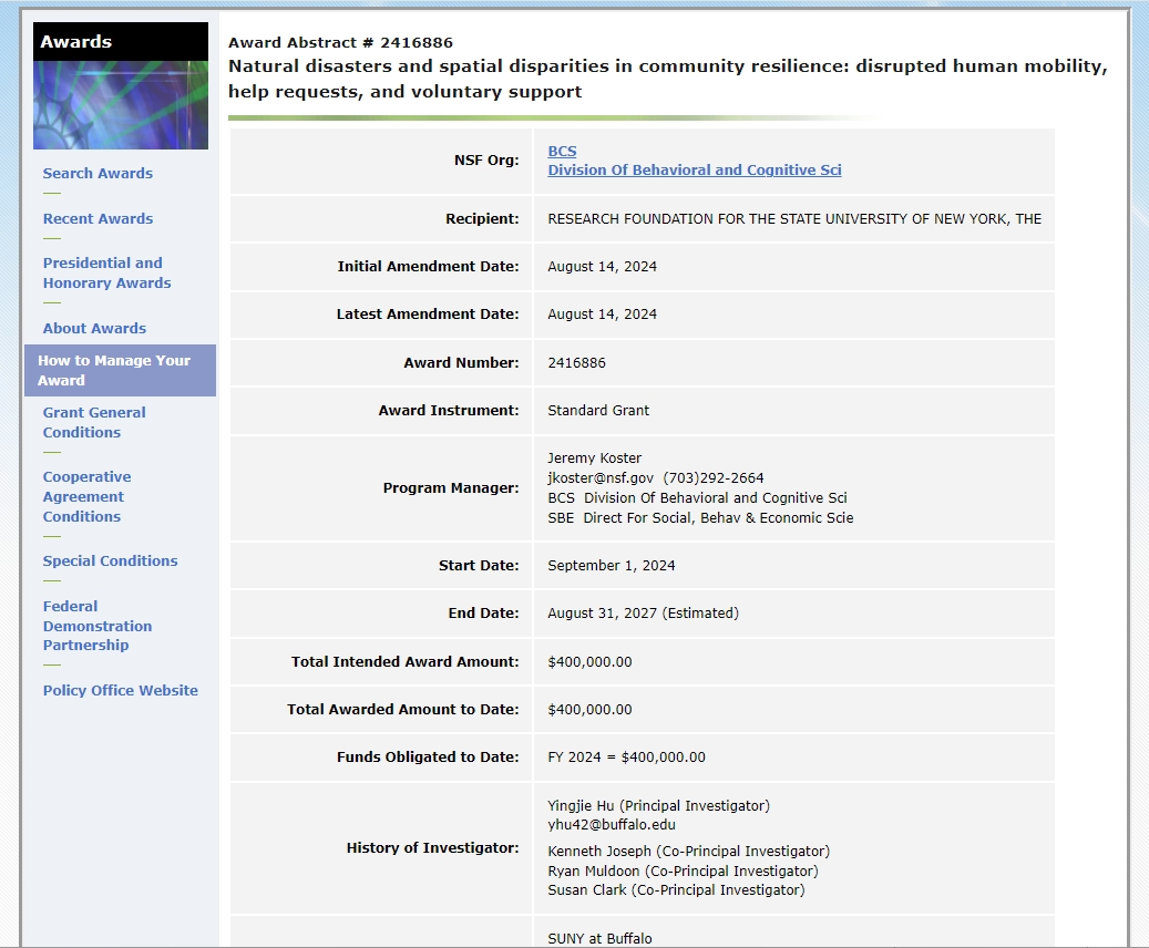
Our lab receives a new NSF grant to study disrupted human mobility, help requests, and voluntary support during natural disasters. Focusing on a type of understudied disasters, i.e., winter storms, this project examines the impacts of natural disasters on community resilience from a geographical perspective. It examines three aspects of the human responses to natural disasters. First, anonymized mobile phone location data and GeoAI methods will be used to investigate spatial variation in the disrupted patterns of mobility. Second, we investigate spatial disparities in the extent to which residents request assistance from municipal authorities. Third, we study the geography of help-seeking behavior among social media users and the roles of digital platforms in facilitating voluntary support. We will also examine the socioeconomic and demographic factors associated with the variation of human behaviors and community resilience. This project is empirically grounded on a complement of datasets, engages theories in disaster resilience and disparities, and leverages a combination of methods in geographical and statistical analysis, GeoAI, and network modeling. Insights from this project and the developed methodological frameworks have the potential to inform future disaster studies on disaster-caused human mobility disruptions, community-initiated responses, and the roles that social media play in shaping these responses and spatial disparities.
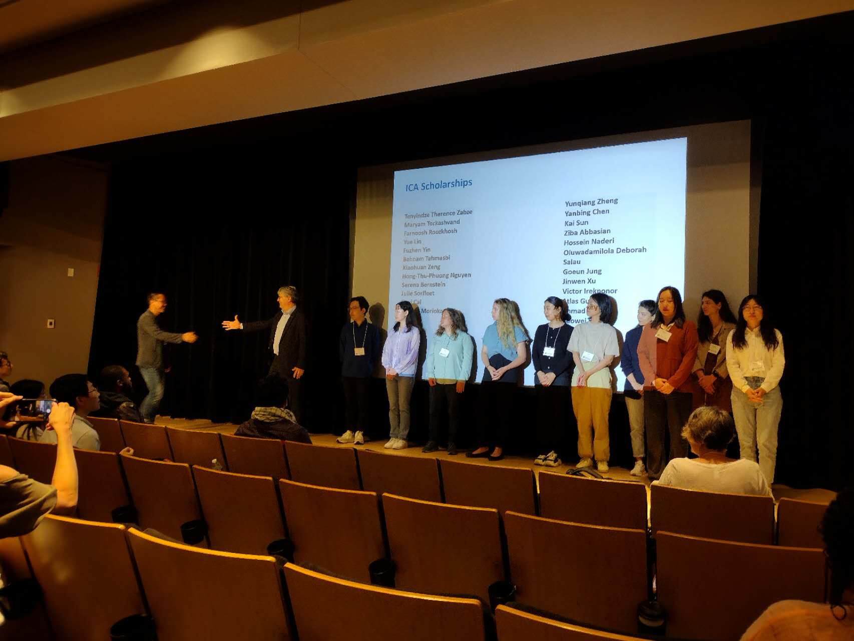
At the 2024 CaGIS+UCGIS Symposium, lab member Kai Sun received the ICA Scholarship from the International Cartographic Association (ICA). The ICA Scholarship is awarded to “support early career scholars and professionals in advancing their career in cartography and GIScience.” Kai also made a poster presentation, “GALLOC: A GeoAnnotator for Labeling LOCation descriptions from disaster-related text messages”, at UCGIS.
Kai Sun receiving the ICA Scholarship.
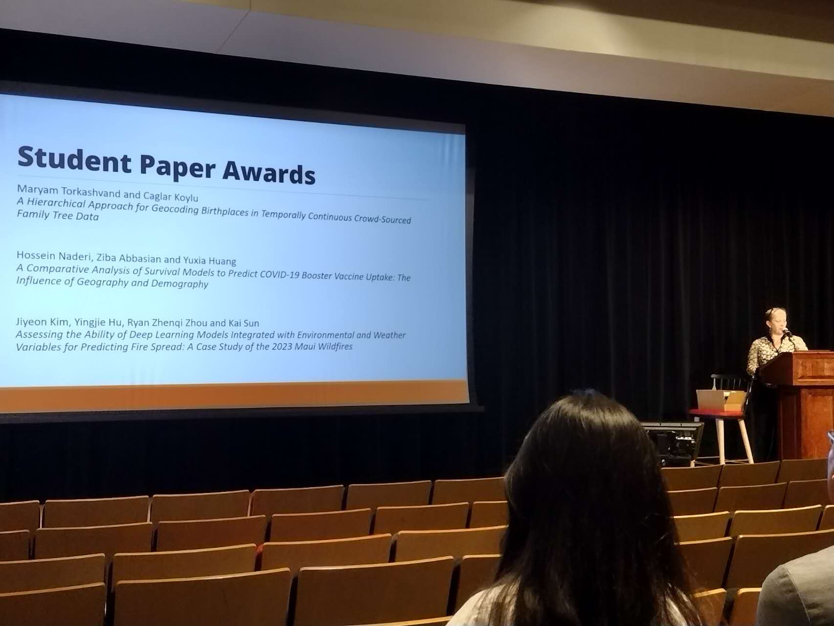
Lab member Jiyeon Kim made an oral presentation, “Assessing the ability of deep learning models integrated with environmental and weather variables for predicting fire spread: A case study of the 2023 Maui wildfires.” Jiyeon’s presentation received the 3rd Place Award in the Student Presentation Competition.
3rd Place Student Paper Award received by Jiyeon KimGeoAI Lab members at the 2024 CaGIS + UCGIS Symposium.
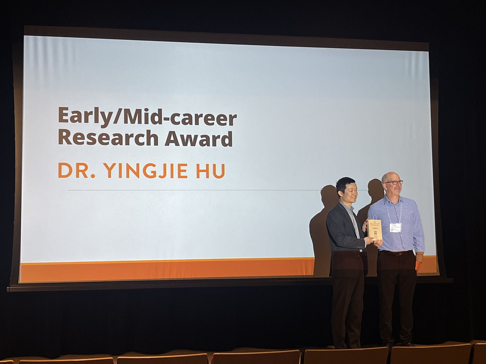
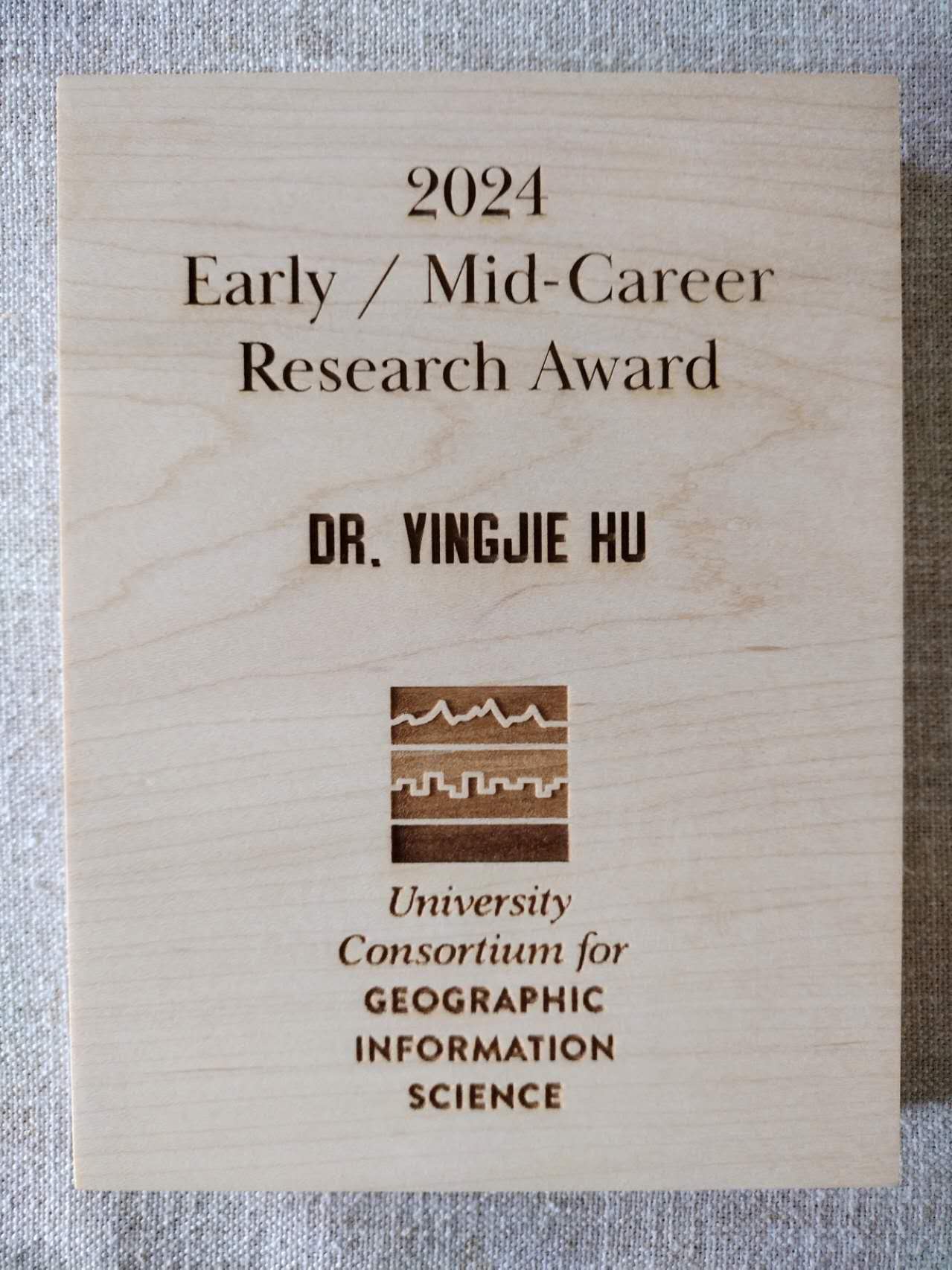
Dr. Yingjie Hu was selected as the recipient of the 2024 Early/Mid-Career Research Award from the University Consortium for Geographic Information Science (UCGIS). This award is “given to an individual who has made a particularly outstanding research contribution to geographic information science.” The contribution can be “a single contribution or a series of research works that are seminal and have significant impacts on Geographic Information Science community.” This is an international award that is given to “researchers in the Early/Mid-Career level that is 15 years or less after the terminal degree or within 15 years of accumulated professional service, worldwide are eligible for the award.”
Yingjie is extremely honored to receive this award. He really appreciates the great encouragement from the UCGIS community and is grateful for the support of his mentors, colleagues, and students. He looks forward to continuing contributing to GIScience research, education, and community service.
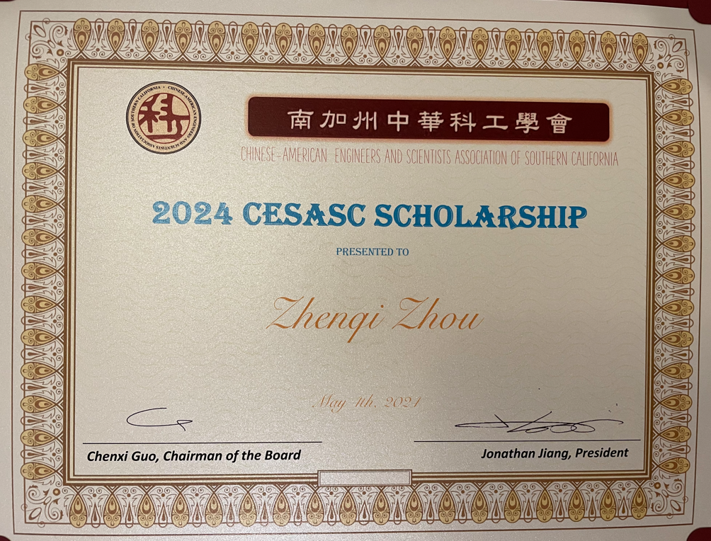
Chinese-American Engineers and Scientists Association of Southern California (CESASC) is one of the largest and the most established Chinese-American professional organizations in Southern California. CESASC offers annual scholarships to encourage young students to develop their interests and pursue their careers in the fields of science, engineering, and technology.
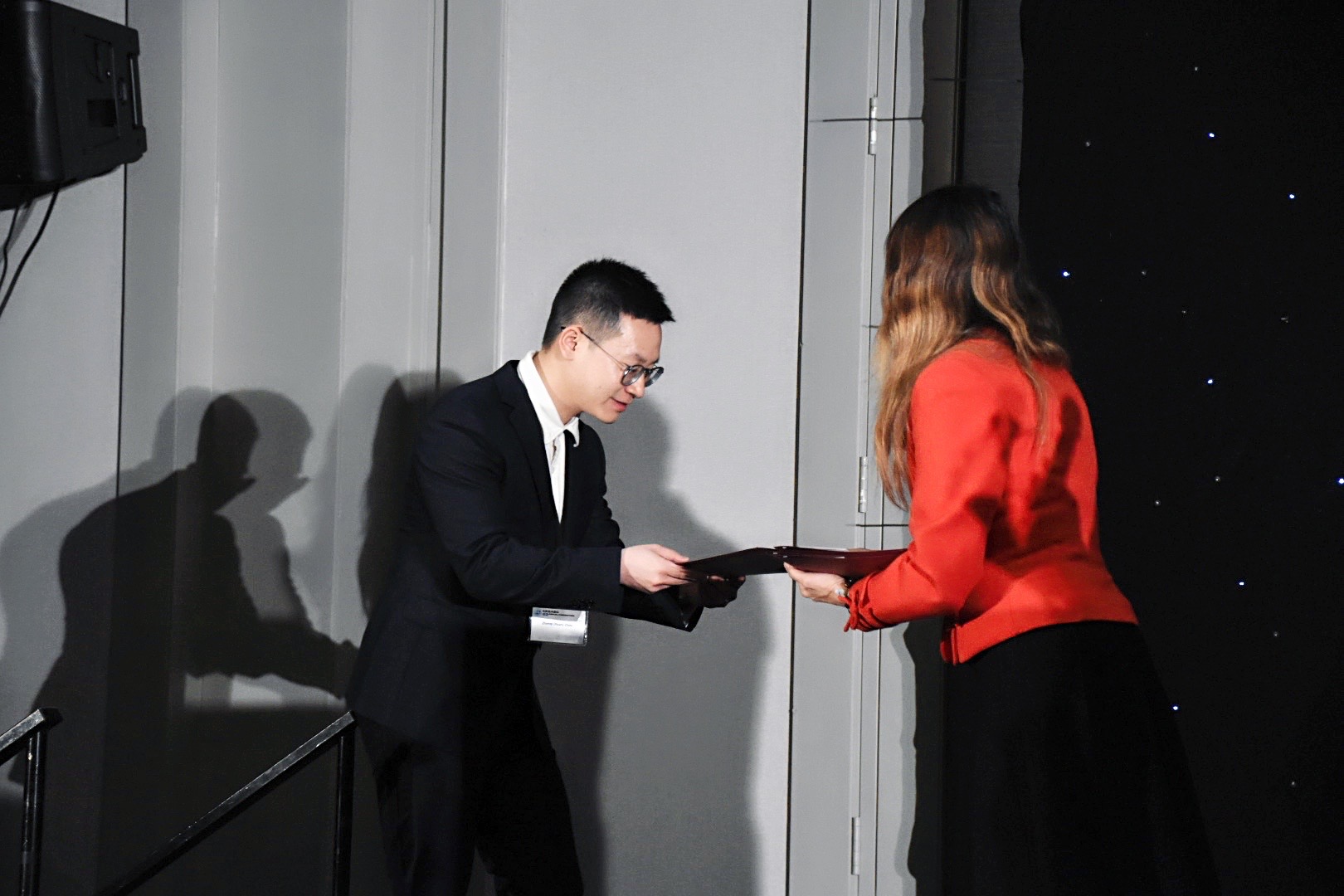
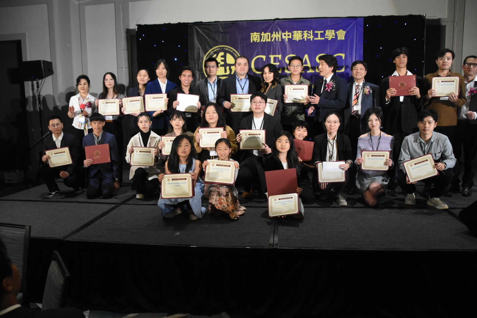
Lab member Ryan Zhenqi Zhou received the 2024 CESASC Scholarship and both attended and volunteered at the 2024 CESASC Annual Convention. Ryan is deeply grateful for the great and consistent support from his mentor, Dr. Yingjie Hu, who himself also was a recipient of the CESASC Scholarship while a PhD student at UCSB.
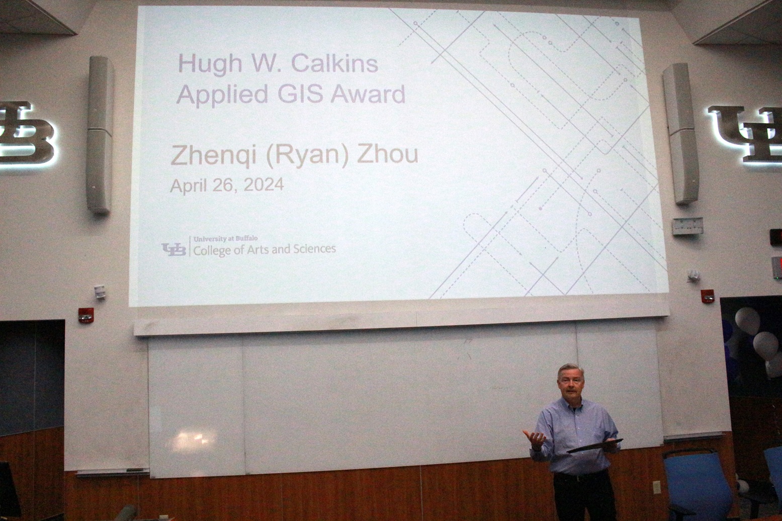
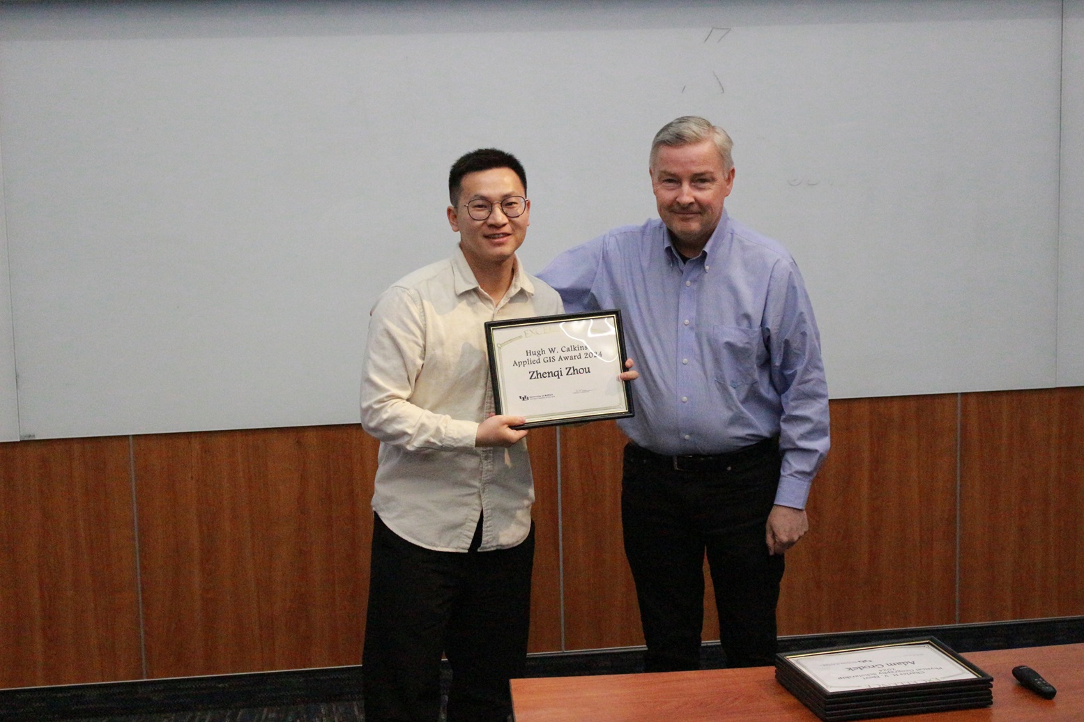
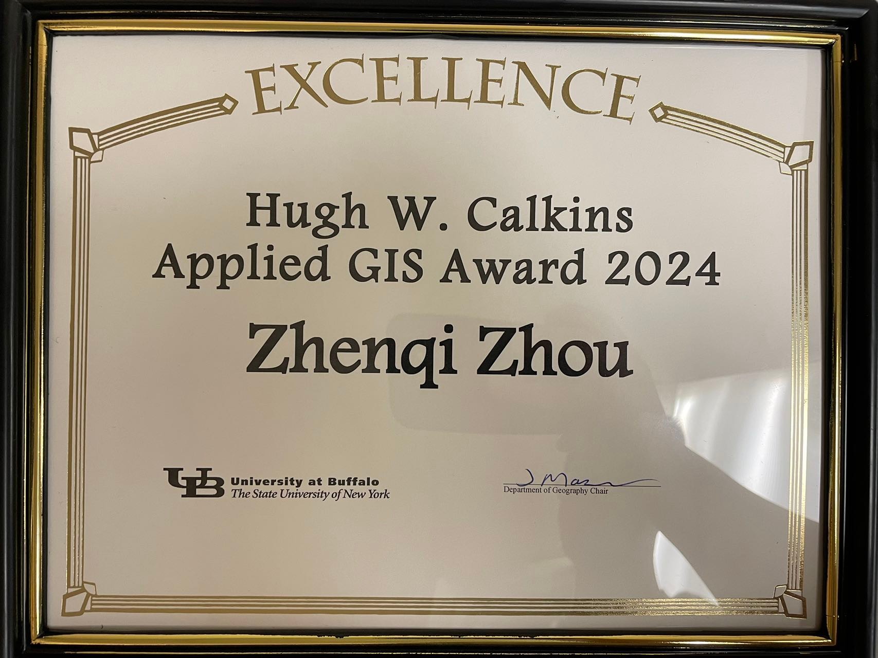
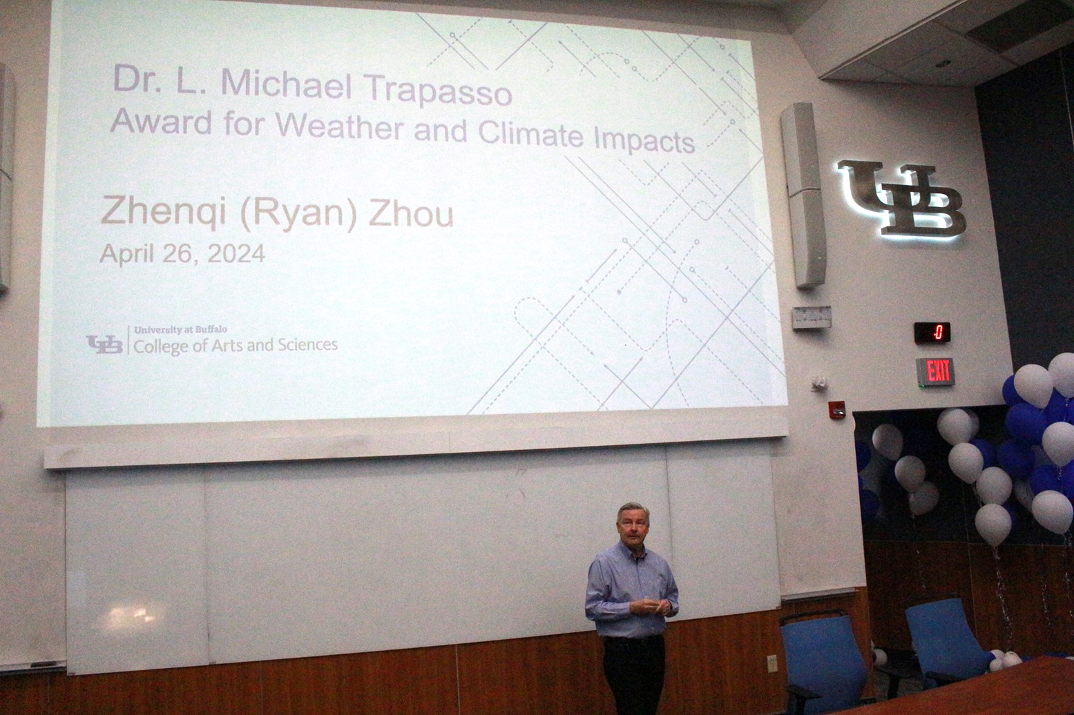
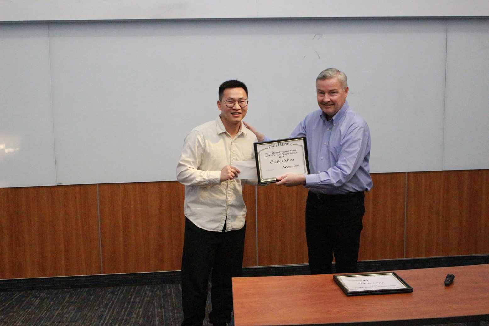
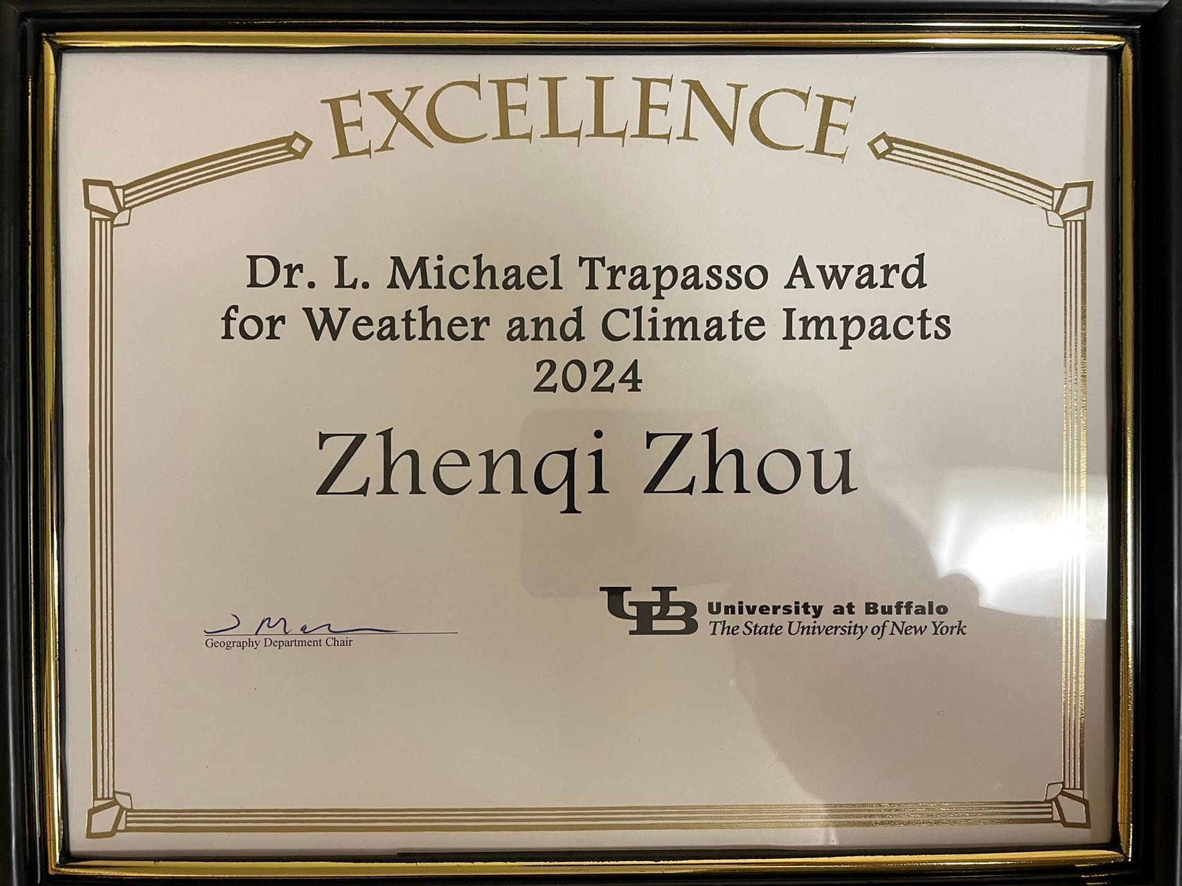
Lab member Ryan Zhenqi Zhou receives both the 2024 Hugh Calkins Applied GIS Award and the 2024 Michael Trapasso Climate Impacts Award!
The Hugh Calkins Applied GIS Award is given annually to a graduate student from UB Geography, who best applies the principles that Dr. Calkins developed and taught for many years.
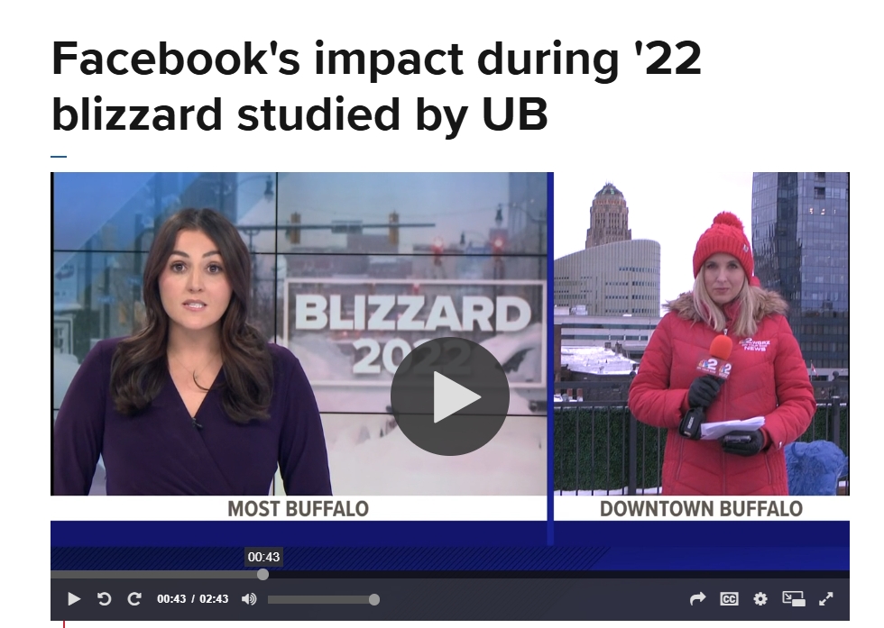
The Dr. L. Michael Trapasso award is given annually to a current graduate student from UB Geography in order to advance his/her research involving the use of meteorological or climatological data in the following year. For Ryan, he uses meteorological or climatological data to advance his research on winter storms and blizzards, and to help communities become more resilient during these disasters.
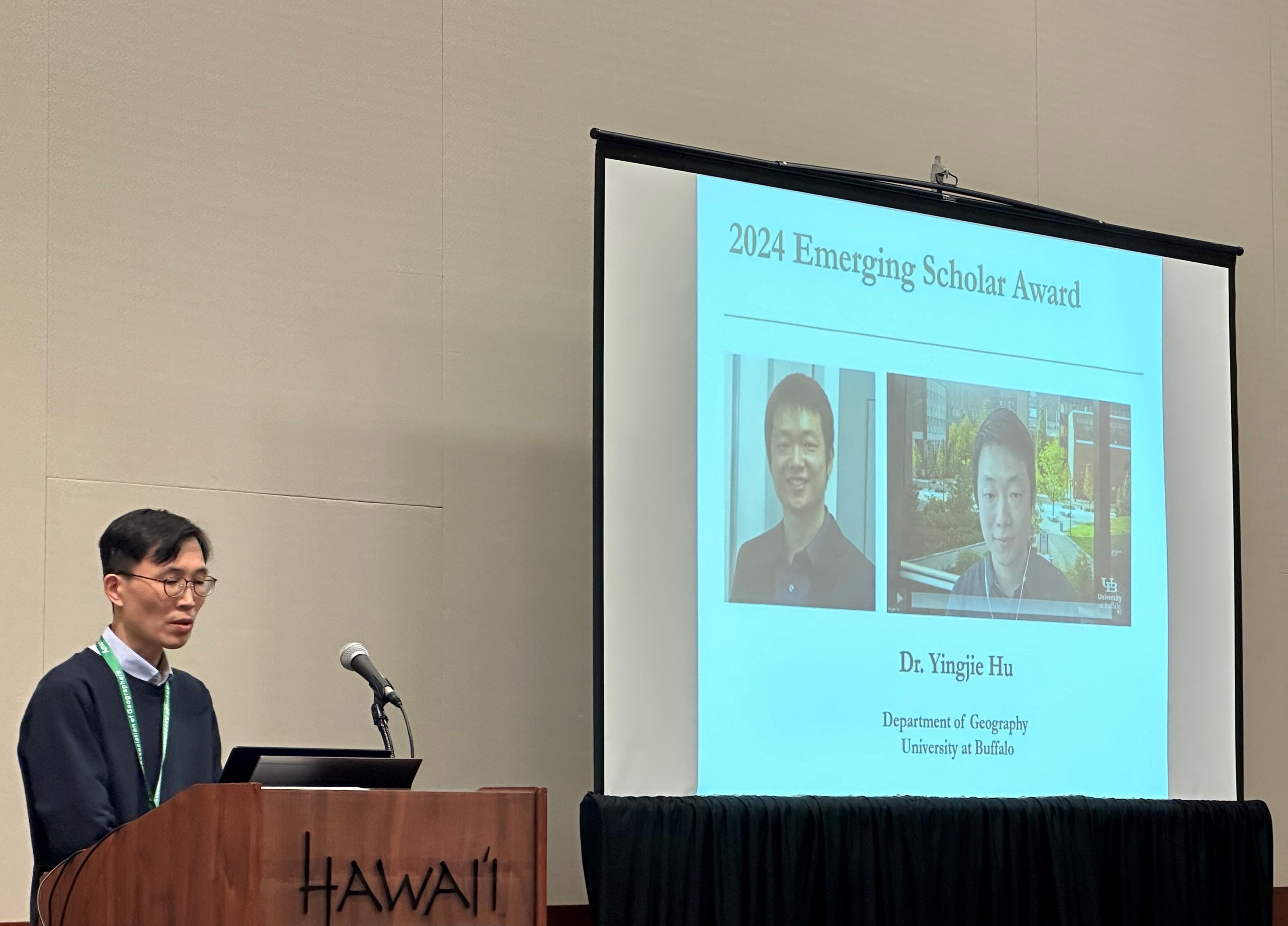
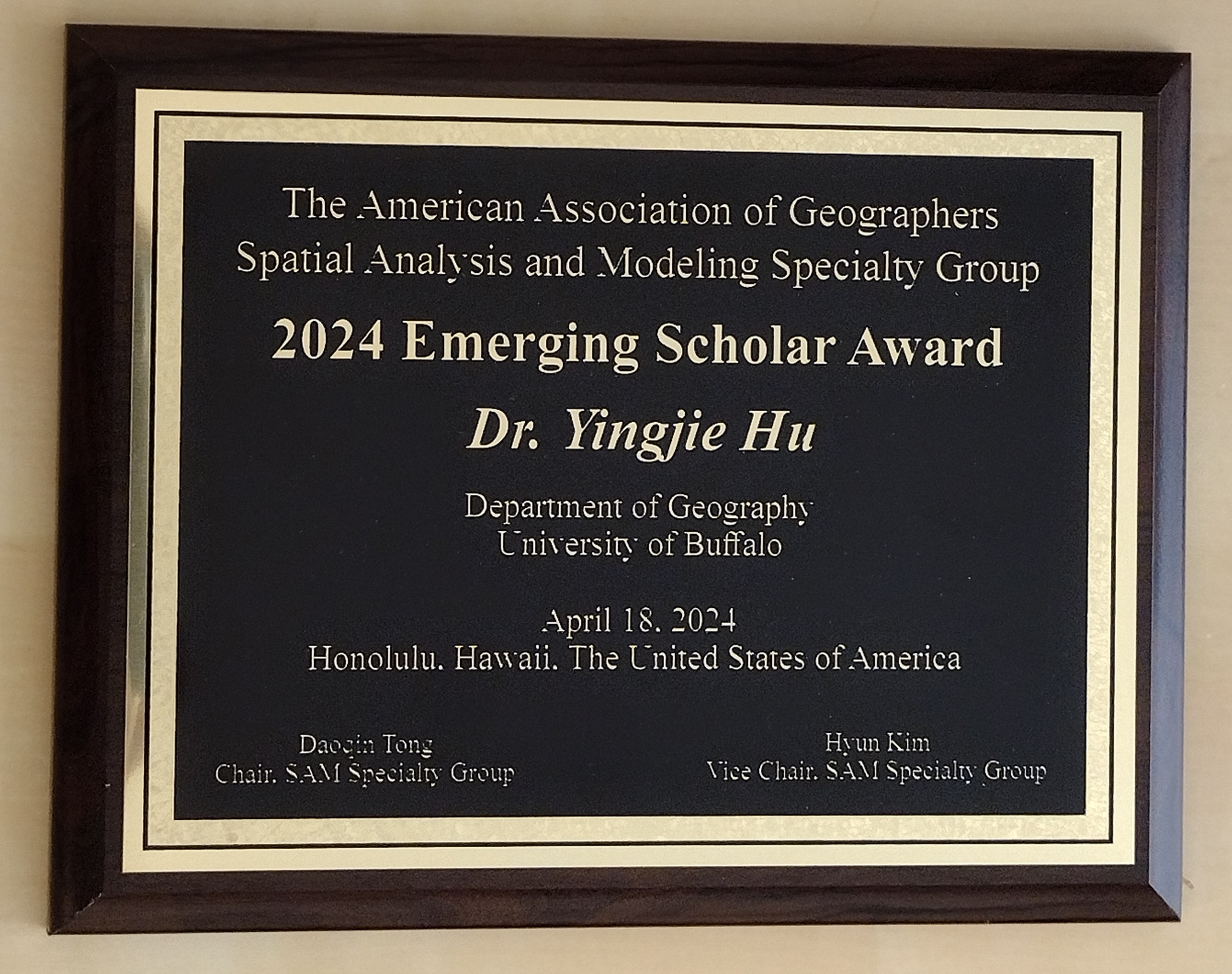
Yingjie is extremely honored to receive the 2024 Emerging Scholar Award from the American Association of Geographer (AAG) Spatial Analysis and Modeling (SAM) Specialty Group. This award “honors early- to mid-career scholars who have made significant contributions to education and research initiatives.”
Due to family care responsibilities (his second child was born a few weeks ago), Yingjie couldn’t travel to Hawaii to receive this award. Many thanks to UB PhD student Qingqing Chen who brought back the award plaque for him. Yingjie is extremely grateful for the great support from his mentors, colleagues, and students, and he looks forward to continuing contributing to GIScience, SAM, and beyond!