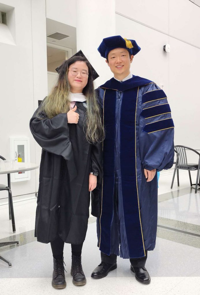
Lab member Yue Ma completed her master’s study in GeoAI Lab and UB Geography. Her master’s research focuses on forecasting vegetation dynamics in an open ecosystem in the Cape Floristic Region in South Africa, which is a global biodiversity hotspot. Yue also received the 3rd place Award in the 2023 AAG Student Poster Competition. After receiving PhD offers from multiple top universities, Yue eventually decided to continue her study at the University of Maryland College Park. We wish Yue all the best to her bright career ahead!
Month: May 2023
Celebrating the graduation of our MS in GIS student Tev’ye Davis
Our MS in GIS student Tev’ye Davis is graduating! Over the past years, Tev’ye has developed strong technical skills in GIS and machine learning, and he will become a GIS specialist in the Osmose Utilities company. Congratulations! Proud of you!
New paper led by Dr. Kai Sun on conflating points of interest (POI) data published in Computers, Environment and Urban Systems
Abstract: Point of interest (POI) data provide digital representations of places in the real world, and have been increasingly used to understand human-place interactions, support urban management, and build smart cities. Many POI datasets have been developed, which often have different geographic coverages, attribute focuses, and data quality. From time to time, researchers may need to conflate two or more POI datasets in order to build a better representation of the places in the study areas. While various POI conflation methods have been developed, there lacks a systematic review, and consequently, it is difficult for researchers new to POI conflation to quickly grasp and use these existing methods. This paper fills such a gap. Following the protocol of Preferred Reporting Items for Systematic Reviews and Meta-Analyses (PRISMA), we conduct a systematic review by searching through three bibliographic databases using reproducible syntax to identify related studies. We then focus on a main step of POI conflation, i.e., POI matching, and systematically summarize and categorize the identified methods. Current limitations and future opportunities are discussed afterwards. We hope that this review can provide some guidance for researchers interested in conflating POI datasets for their research.
More details are available in the full paper: Kai Sun, Yingjie Hu, Yue Ma, Ryan Zhenqi Zhou, and Yunqiang Zhu (2023): Conflating point of interest (POI) data: A systematic review of matching methods. Computers, Environment and Urban Systems, 103, 101977. [PDF]
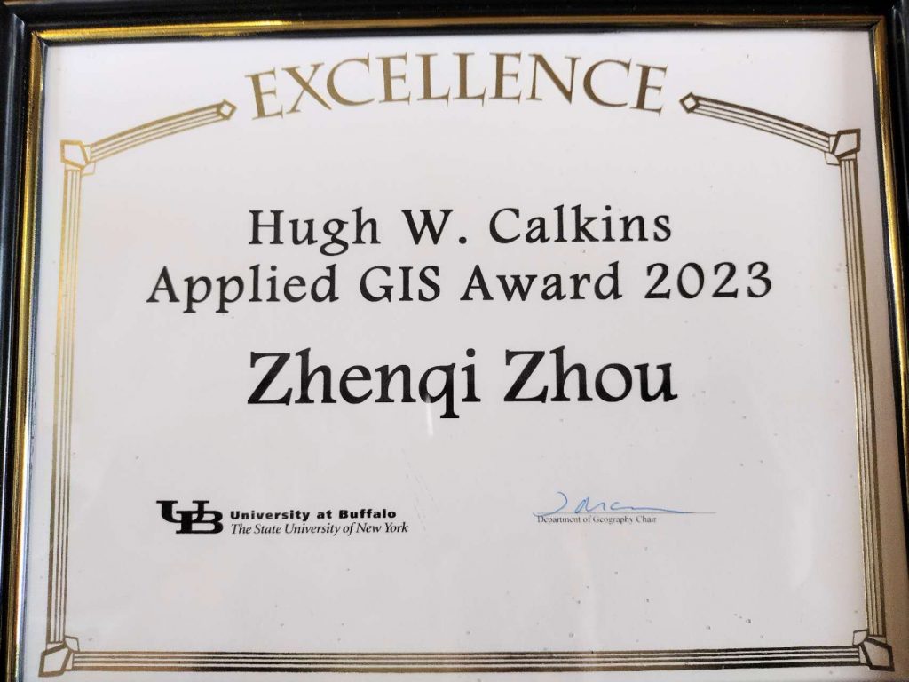
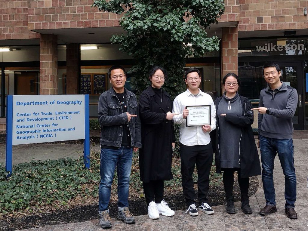
Lab member Ryan Zhenqi Zhou received Hugh W. Calkins Applied GIS Award
Ryan Zhenqi Zhou received Hugh W. Calkins Applied GIS Award. This award is given annually to a graduate student from the Department of Geography at the University at Buffalo who demonstrates the principles of Dr. Calkins in using GIS to address real-world challenges. Congratulations, Ryan!
About Dr. Hugh W. Calkins (excerpted from the website of UB Geography):
Hugh West Calkins was a pioneer in the development of geographic information systems. He was a faculty member in the Department of Geography in UB since 1975, and served as department chair from 1999 to 2002. He advised dozens of students at the doctoral, graduate and undergraduate levels. He received his bachelor’s degree from the University of California at Berkeley, and his master’s and doctoral degrees in urban planning from the University of Washington.
At a session in Hugh’s honor at the annual meeting of the American Association of Geographers in Denver in April 2005, ESRI President Jack Dangermond stated that “Hugh Calkins defined what it meant to be a GIS professional”. Hugh served as a member of the National Committee on Digital Cartographic Data Standards of the American Congress on Surveying and Mapping. He also served as co-leader on two research initiatives of the National Center for Geographic Information and Analysis at UB, one of the center’s three sites nationwide, which focused on the use of geographic information in decision making and institutional data sharing. Through his service on numerous national, state and local advisory committees and boards, he was a leader in the establishment of information exchange standards for GIS.