Research on geo-knowledge-guided AI model for disaster response was reported by news media

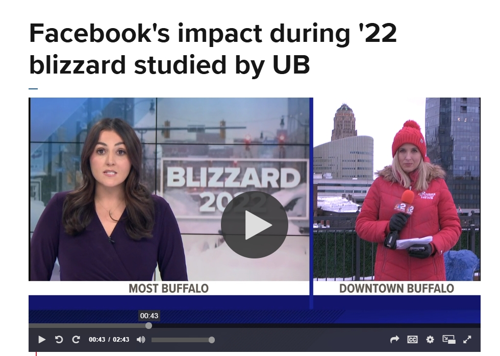
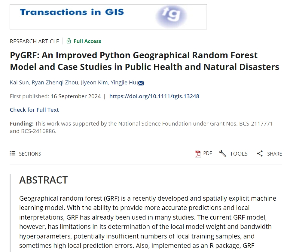
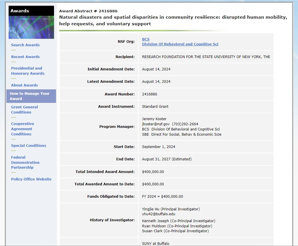
Our recent research on geo-knowledge-guided AI model for disaster response was reported by a number of news outlets:

It is great to see the wide public interest in our work. Look forward to doing more research that positively impacts on our society.

New Handbook of Geospatial Artificial Intelligence (GeoAI) is published by Taylor & Francis

The new “Handbook of Geospatial Artificial Intelligence” edited by Drs. Song Gao (University of Wisconsin-Madison), Yingjie Hu (University at Buffalo), and Wenwen Li (Arizona State University) is now published and is available at the website of Taylor & Francis and a preview of the book is available here.

This handbook covers key fundamental concepts, methods, models, and technologies of GeoAI and discusses the recent advances, research tools, and applications that range from environmental observation and social sensing to public health and disaster responses. We hope this book can provide an organized resource for educators, students, researchers, and practitioners learning and using GeoAI.

Book chapters and their authors:

Section 1: Historical Roots of GeoAI

Chapter 1: Introduction to Geospatial Artificial Intelligence (GeoAI)

By Song Gao, Yingjie Hu, Wenwen Li

Chapter 2: GeoAI’s Thousand-Year History

By Helen Couclelis

Chapter 3: Philosophical Foundations of GeoAI: Exploring Sustainability, Diversity, and Bias in GeoAI and Spatial Data Science

By Krzysztof Janowicz

Section 2: GeoAI Methods

Chapter 4: GeoAI Methodological Foundations: Deep Neural Networks and Knowledge Graphs

By Song Gao, Jinmeng Rao, Yunlei Liang, Yuhao Kang, Jiawei Zhu, Rui Zhu 

Chapter 5: GeoAI for Spatial Image Processing

By Samantha T. Arundel, Kevin G. McKeehan, Wenwen Li, Zhining Gu

Chapter 6: Spatial Representation Learning in GeoAI

By Gengchen Mai, Ziyuan Li, Ni Lao

Chapter 7: Intelligent Spatial Prediction and Interpolation Methods

By Di Zhu, Guofeng Cao

Chapter 8: Heterogeneity-Aware Deep Learning in Space: Performance and Fairness

By Yiqun Xie, Xiaowei Jia, Weiye Chen, Erhu He

Chapter 9: Explainability in GeoAI

By Ximeng Cheng, Marc Vischer, Zachary Schellin, Leila Arras, Monique M. Kuglitsch, Wojciech Samek, Jackie Ma

Chapter 10: Spatial Cross-Validation for GeoAI

By Kai Sun, Yingjie Hu, Gaurish Lakhanpal, Ryan Zhenqi Zhou

Section 3: GeoAI Applications

Chapter 11: GeoAI for the Digitization of Historical Maps

By Yao-Yi Chiang, Muhao Chen, Weiwei Duan, Jina Kim, Craig A. Knoblock, Stefan Leyk, Zekun Li, Yijun Lin, Min Namgung, Basel Shbita, Johannes H. Uhl 

Chapter 12: Spatiotemporal AI for Transportation

By Tao Cheng, James Haworth, Mustafa Can Ozkan 

Chapter 13: GeoAI for Humanitarian Assistance

By Philipe A. Dias, Thomaz Kobayashi-Carvalhaes, Sarah Walters, Tyler Frazier, Carson Woody, Sreelekha Guggilam, Daniel Adams, Abhishek Potnis, Dalton Lunga 

Chapter 14: GeoAI for Disaster Response

By Lei Zou, Ali Mostafavi, Bing Zhou, Binbin Lin, Debayan Mandal, Mingzheng Yang, Joynal Abedin, Heng Cai 

Chapter 15: GeoAI for Public Health

By Andreas Züfle, Taylor Anderson, Hamdi Kavak, Dieter Pfoser, Joon-Seok Kim, Amira Roess 

Chapter 16: GeoAI for Agriculture

By Chishan Zhang, Chunyuan Diao, Tianci Guo 

Chapter 17: GeoAI for Urban Sensing

By Filip Biljecki 

Section 4: Perspectives for the Future of GeoAI

Chapter 18: Reproducibility and Replicability in GeoAI

By Peter Kedron, Tyler D. Hoffman, Sarah Bardin

Chapter 19: Privacy and Ethics in GeoAI

By Grant McKenzie, Hongyu Zhang, Sébastien Gambs

Chapter 20: A Humanistic Future of GeoAI

By Bo Zhao, Jiaxin Feng

Chapter 21: Fast Forward from Data to Insight: (Geographic) Knowledge Graphs and Their Applications

By Krzysztof Janowicz, Kitty Currier, Cogan Shimizu, Rui Zhu, Meilin Shi, Colby K. Fisher, Dean Rehberger, Pascal Hitzler, Zilong Liu, Shirly Stephen 

Chapter 22: Forward Thinking on GeoAI

By Shawn Newsam

Dr. Hu joins the editorial board of the International Journal of Geographical Information Science

Dr. Yingjie Hu was invited to join the editorial board of the International Journal of Geographical Information Science (IJGIS). IJGIS is a flagship journal for GIScience research, and it covers research topics including:

  • Innovations and novel applications of GIScience in natural resources, social systems and the built environment
  • Relevant developments in computer science, cartography, surveying, geography, and engineering
  • Fundamental and computational issues of geographic information
  • The design, implementation and use of geographical information for monitoring, prediction and decision making

Yingjie looks forward to continuing contributing to IJGIS and the GIScience community!

New paper on geo-knowledge-guided GPT models for disaster response published in the International Journal of Geographical Information Science

Social media messages posted by people during natural disasters often contain important location descriptions, such as the locations of victims. Recent research has shown that many of these location descriptions go beyond simple place names, such as city names and street names, and are difficult to extract using typical named entity recognition (NER) tools. While advanced machine learning models could be trained, they require large labeled training datasets that can be time-consuming and labor-intensive to create.

GPT models, such as GPT-3, ChatGPT, and GPT-4, are large-scale language models (LLMs) and foundation models that have received substantial attention recently. Taking just a few examples as the instruction (called a prompt), a GPT model is able to generate text that reads as if it was written by humans. While they are powerful, the current applications of GPT models are largely limited to conversation and text generation, and their social implications are controversial.

In this work, we aim to harness the power of GPT models for social good and propose a method that fuses geo-knowledge of location descriptions and a GPT model, such as ChatGPT and GPT-4. The result is a geo-knowledge-guided GPT model that can accurately extract location descriptions from disaster-related social media messages. Also, only 22 training examples encoding geo-knowledge are used in our method. We conduct experiments to compare this method with nine alternative approaches on a dataset of tweets from Hurricane Harvey. Our method demonstrates an over 40% improvement over typically used NER approaches. The experiment results also show that geo-knowledge is indispensable for guiding the behavior of GPT models. The extracted location descriptions can help disaster responders reach victims more quickly and may even save lives.

More details are available in the full paper: Hu, Y., Mai, G., Cundy, C., Choi, K., Lao, N., Liu, W., Lakhanpal, G., Zhou, R.Z., & Joseph, K. (2023): Geo-knowledge-guided GPT models improve the extraction of location descriptions from disaster-related social media messagesInternational Journal of Geographical Information Science, in press. [pdf]

The PhD program of UB Geography has become a STEM program

The PhD program of UB Geography has officially been classified as a STEM program under the category “Geography and Environmental Studies” (30.4401). According to the definition from the U.S. government, this category refers to a program “that focuses on interactions between people and the natural and built environments. Includes instruction in climate science, sustainability, environmental science and policy, research methods, geographic information systems (GIS), human geography, physical geography, remote sensing, and public policy.

Being classified as STEM allows our program to encourage more students to participate in STEM-related research. International students graduating from our PhD program will also have 36 months OPT which allows them to further hone their research and technical skills in the U.S. after graduation. Our Master’s in GIS program is in STEM too. If you are interested in applying for the graduate programs of UB Geography, please apply at: https://www.buffalo.edu/cas/geography/about-us/admissions.html

GeoAI lab receives a new NSF award to study anomalous human mobility patterns under natural disasters

In collaboration with Dr. Dane Taylor (Mathematics; PI), GeoAI lab receives a new NSF award that integrates big geospatial data, GeoAI methods, and network modeling to study anomalies in spatio-temporal multilayer networks encoding human mobility: https://www.nsf.gov/awardsearch/showAward?AWD_ID=2319250

Human mobility data from anonymized mobile phone devices are becoming increasingly available, enabling the detection of anomalies and potential threats from human movements. Due to the massive scale of data, it is difficult to detect anomalies that occur at different spatial and temporal resolutions. In addition, human movements are often associated with different categories of places (e.g., grocery stores and schools), and anomalies that are evident in one category may be obscure in another. This project will furnish new mathematical models and theories for encoding different categories of human movements as spatial-temporal multilayer networks. It will develop new algorithms to detect movement-pattern anomalies, which can help better forewarn anomalous events concerning national security. It will also advance our understanding of the impacts of anomalous and disastrous events on different categories of human movements. This project will contribute toward education by supporting graduate students and will facilitate interdisciplinary research between mathematics and geography. Open-source software tools will be implemented and publicly shared to help researchers and decision makers better predict, detect, and plan responses to future anomalous events.

To represent human movements in different categories and effectively detect the associated anomalies, the investigators will pursue three targets in this project. Target 1 will develop spatial-temporal multilayer network models encoding anonymized mobile phone location data of the United States. The network-structural properties associated with both normal and expected anomalous situations (e.g., holidays) will be extensively examined to develop a family of realistic generative models. Target 2 will build algorithms to detect and characterize movement-pattern anomalies based on the multilayer network models using unsupervised spectral algorithms. Random matrix theory will be employed to obtain theoretic guidelines for how to optimally preprocess data to maximize the “detectability” of anomalies at different spatial and temporal resolutions. Target 3 will apply the developed multilayer network models and anomaly detection algorithms to two case studies, to further refine our models and algorithms and to gain new insights into the evolutions and impacts of the two important events.

Dr. Hu receives CPGIS Young Scholar Award

Dr. Hu receives the 2023 CPGIS Young Scholar Award from the International Association of Chinese Professionals in Geographic Information Sciences (CPGIS). He is very grateful for the support from his mentors, colleagues, and students. He looks forward to continuing contributing to GIScience in the coming years!

Lab member Yue Ma completed her MS in GIS study

Lab member Yue Ma completed her master’s study in GeoAI Lab and UB Geography. Her master’s research focuses on forecasting vegetation dynamics in an open ecosystem in the Cape Floristic Region in South Africa, which is a global biodiversity hotspot. Yue also received the 3rd place Award in the 2023 AAG Student Poster Competition. After receiving PhD offers from multiple top universities, Yue eventually decided to continue her study at the University of Maryland College Park. We wish Yue all the best to her bright career ahead!