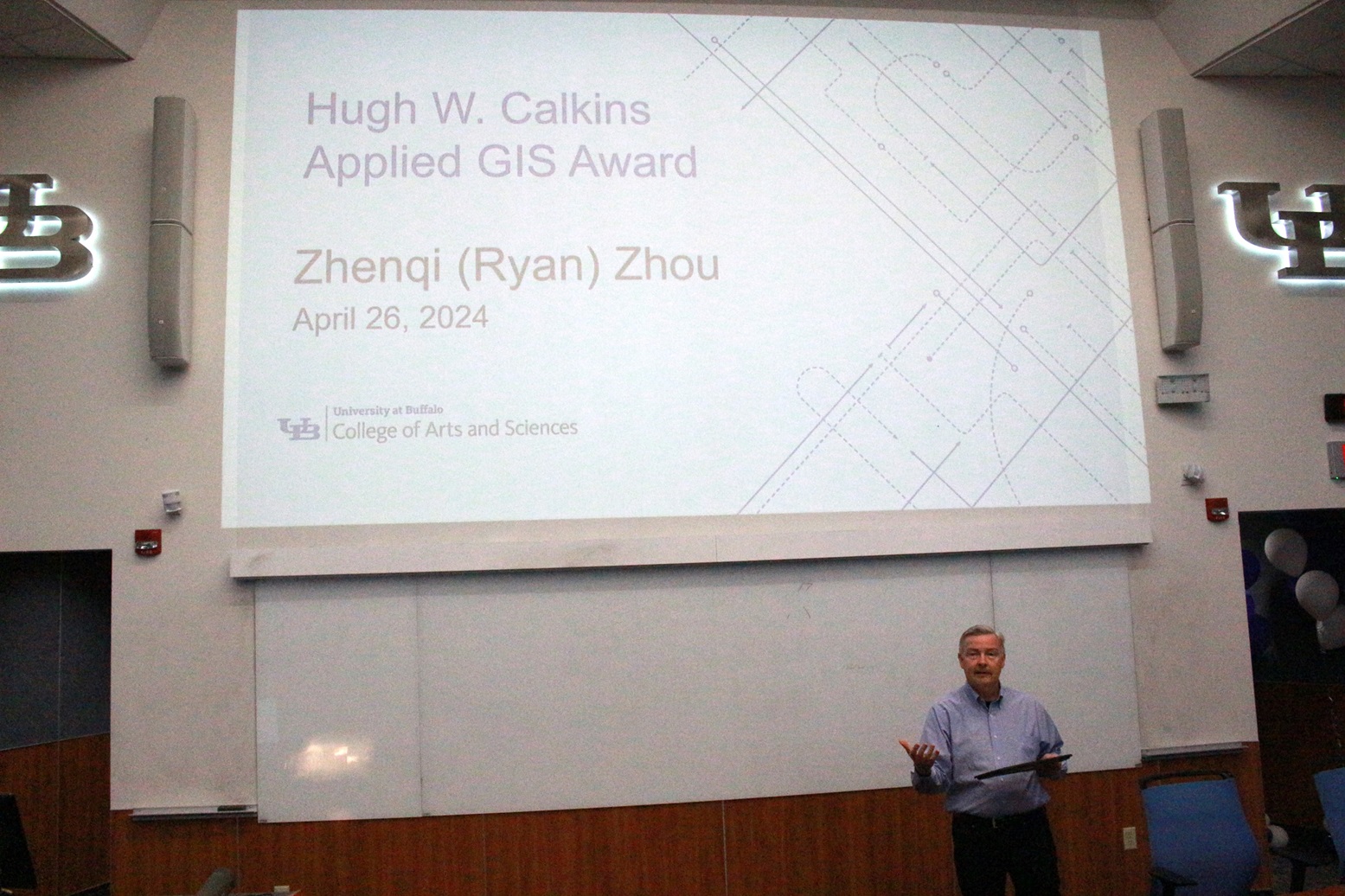
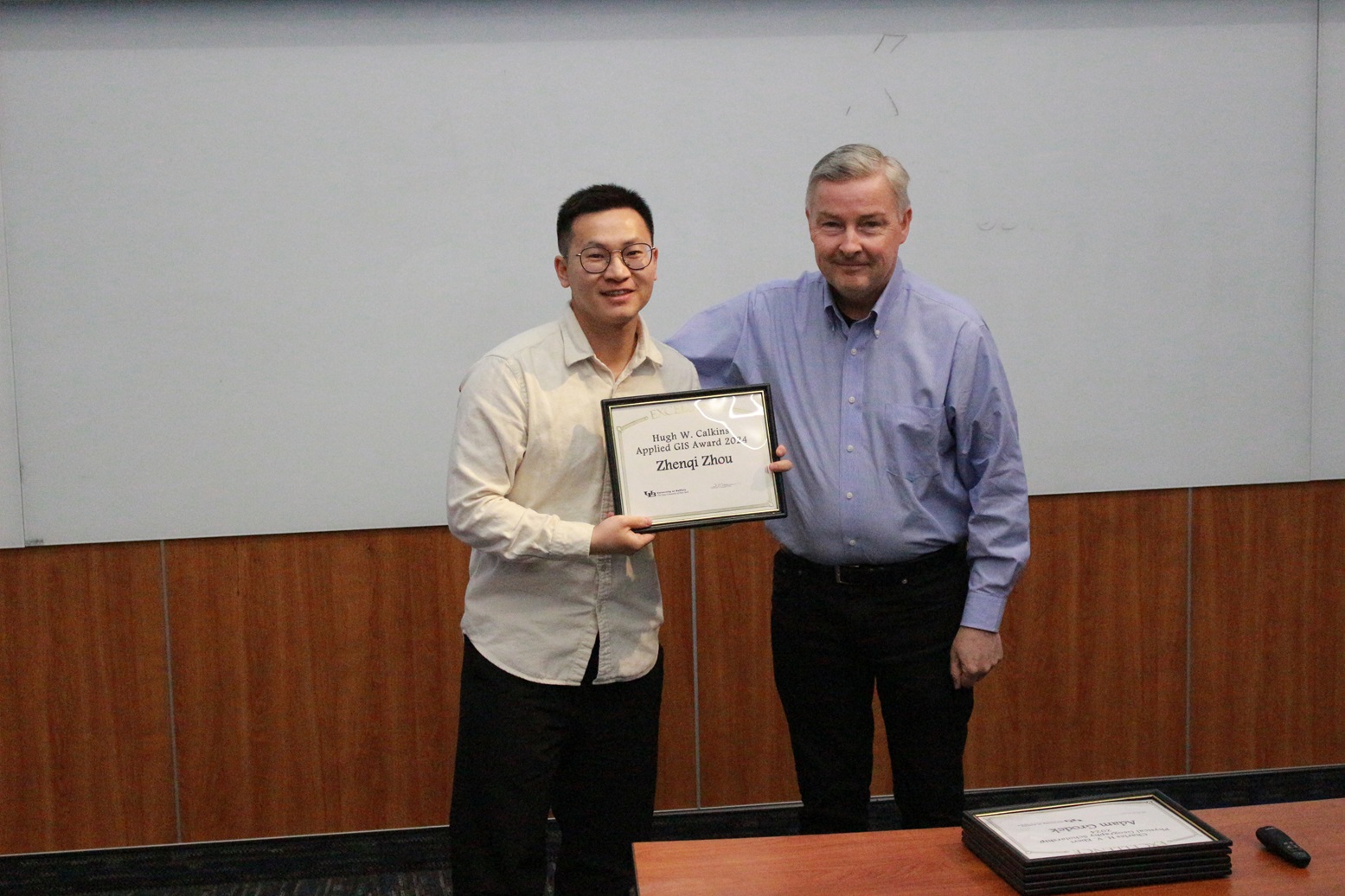
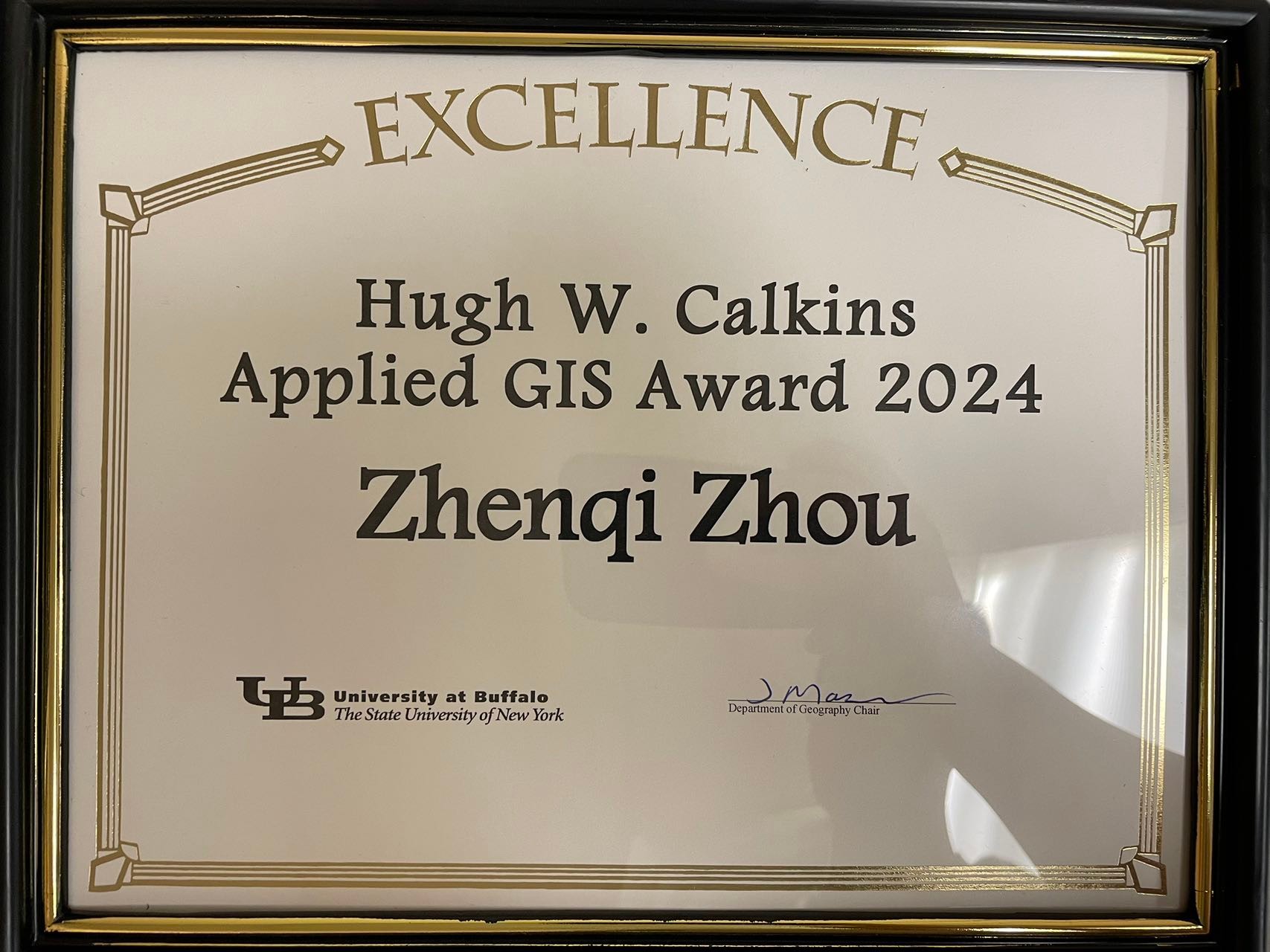
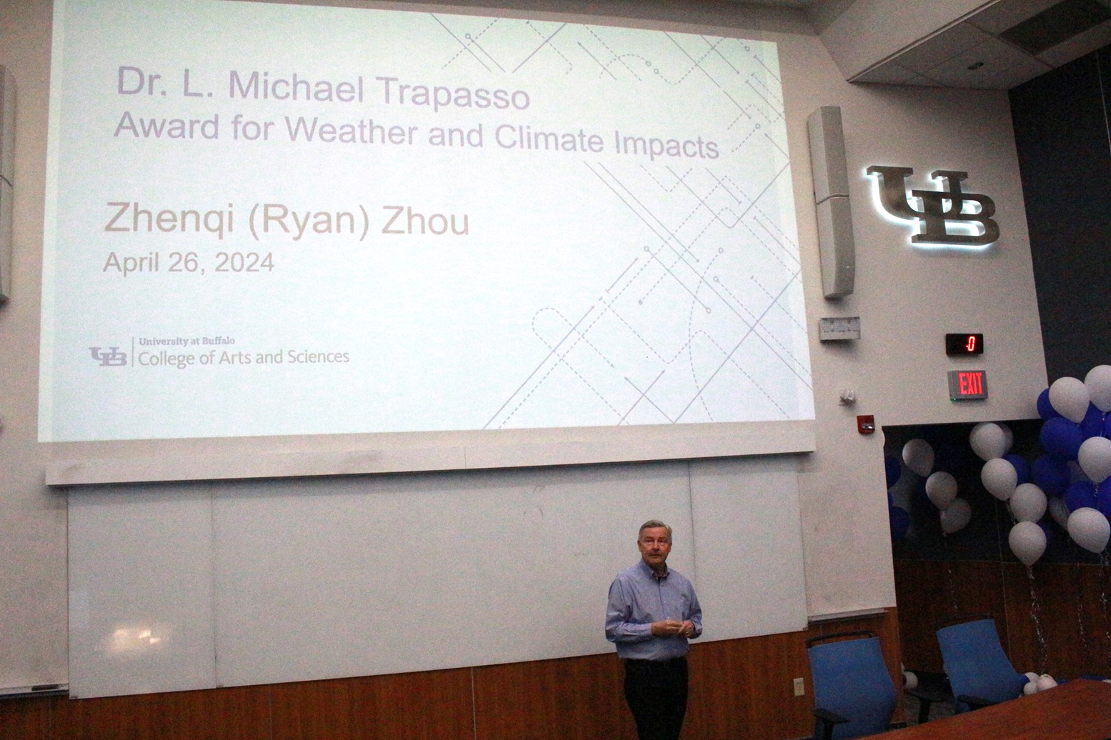
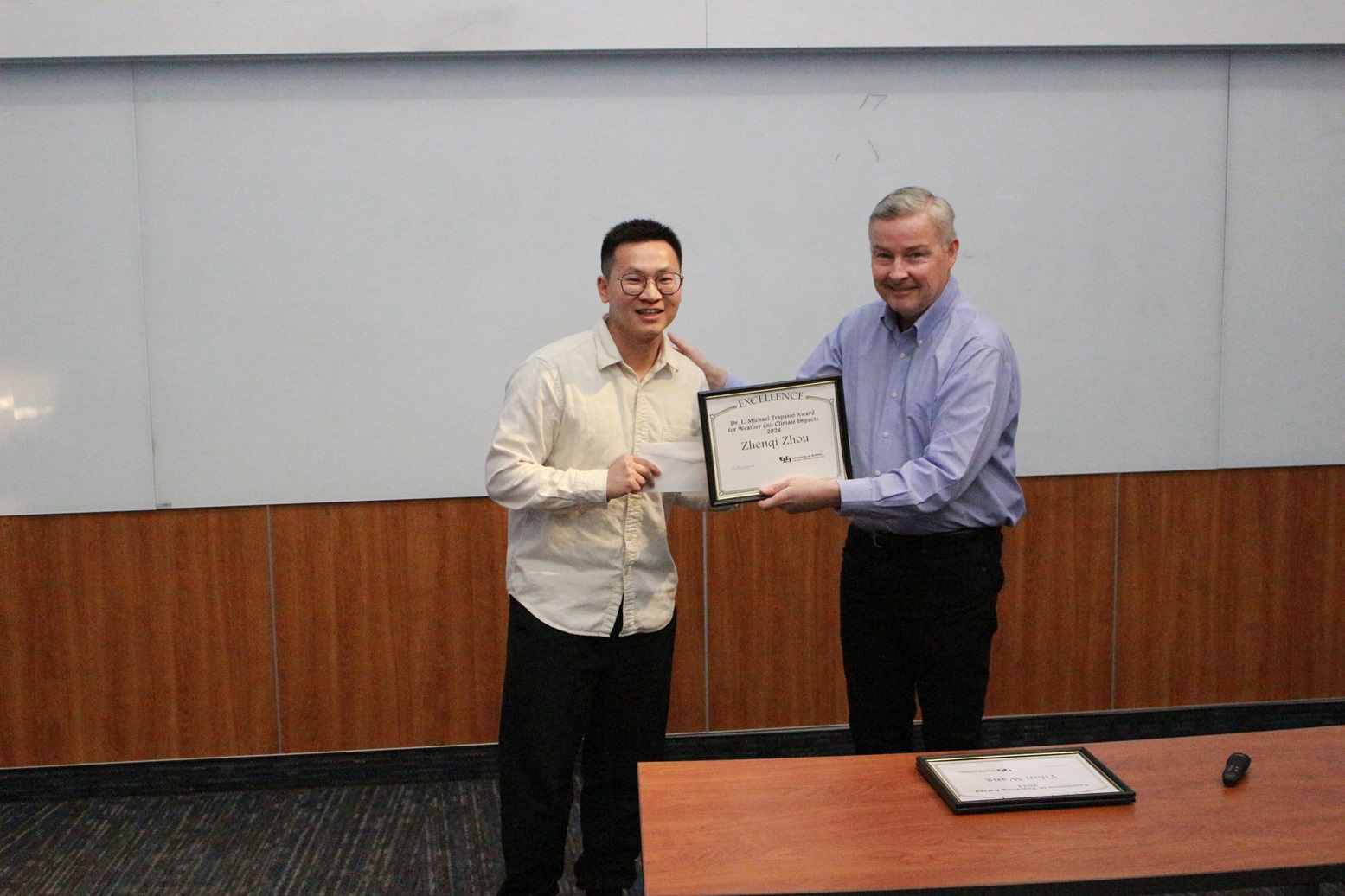
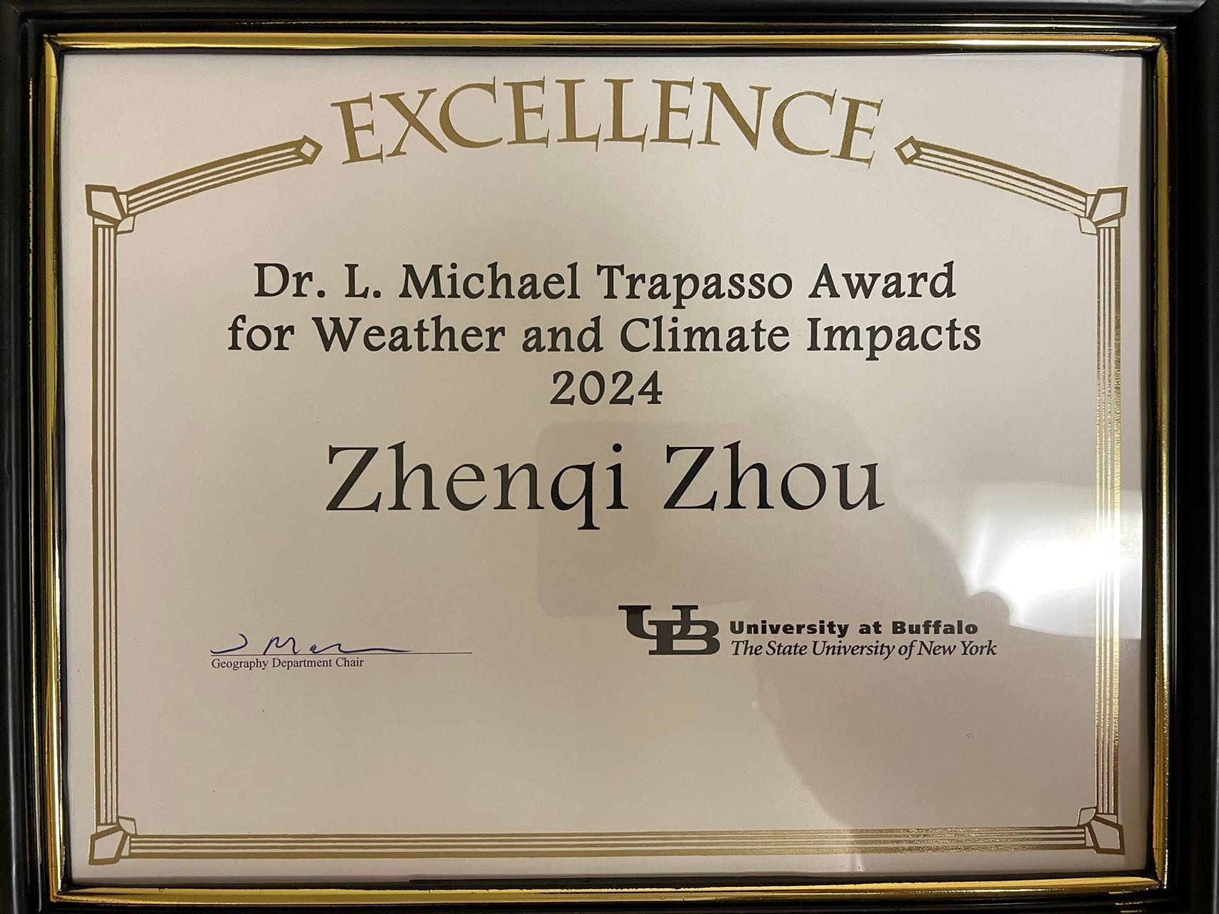
Lab member Ryan Zhenqi Zhou receives both the 2024 Hugh Calkins Applied GIS Award and the 2024 Michael Trapasso Climate Impacts Award!
The Hugh Calkins Applied GIS Award is given annually to a graduate student from UB Geography, who best applies the principles that Dr. Calkins developed and taught for many years.
The Dr. L. Michael Trapasso award is given annually to a current graduate student from UB Geography in order to advance his/her research involving the use of meteorological or climatological data in the following year. For Ryan, he uses meteorological or climatological data to advance his research on winter storms and blizzards, and to help communities become more resilient during these disasters.
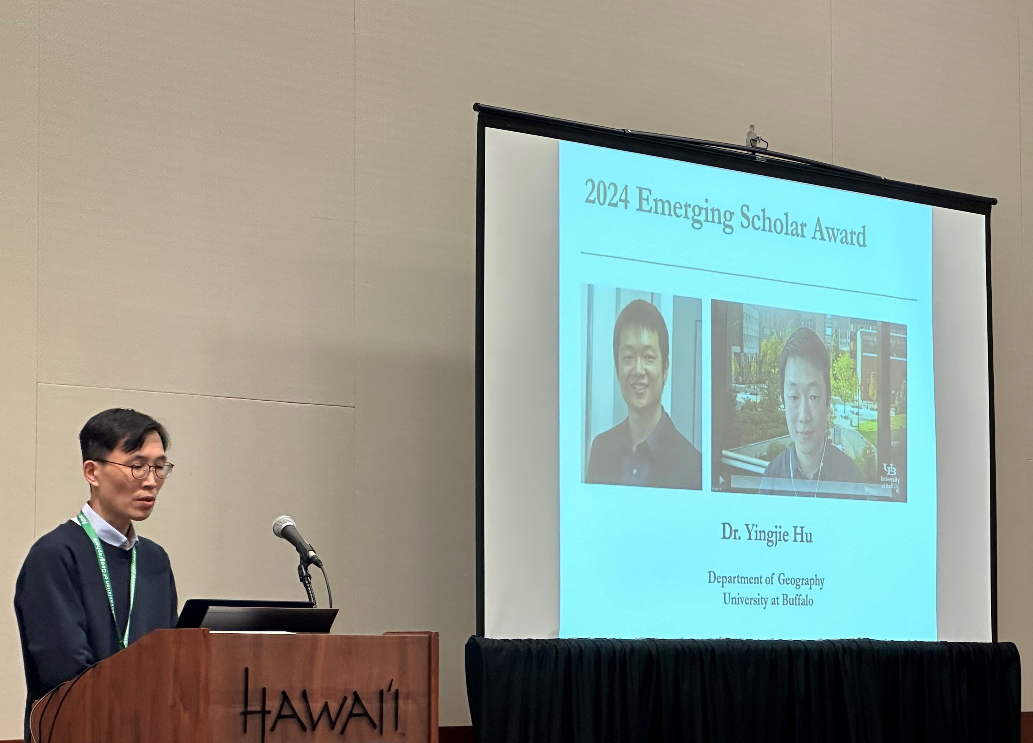
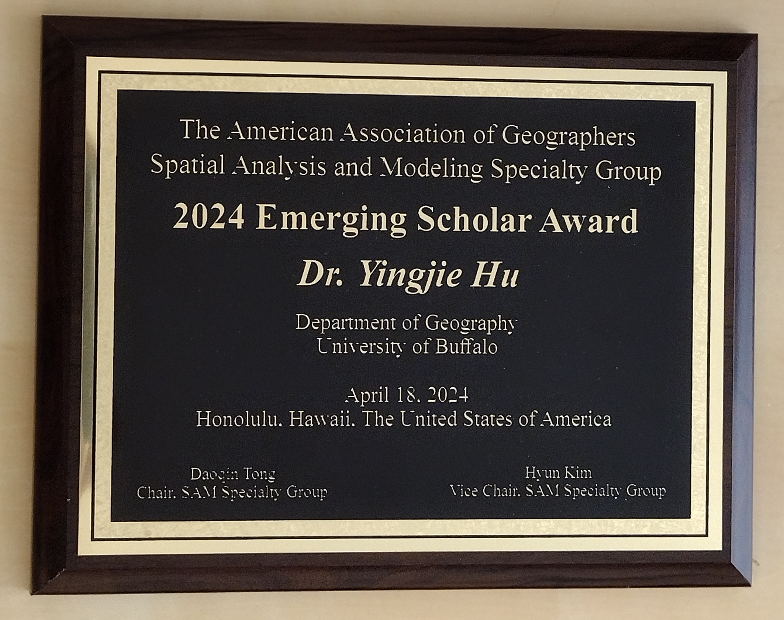
Yingjie is extremely honored to receive the 2024 Emerging Scholar Award from the American Association of Geographer (AAG) Spatial Analysis and Modeling (SAM) Specialty Group. This award “honors early- to mid-career scholars who have made significant contributions to education and research initiatives.”
Due to family care responsibilities (his second child was born a few weeks ago), Yingjie couldn’t travel to Hawaii to receive this award. Many thanks to UB PhD student Qingqing Chen who brought back the award plaque for him. Yingjie is extremely grateful for the great support from his mentors, colleagues, and students, and he looks forward to continuing contributing to GIScience, SAM, and beyond!
In a new research led by PhD student Ryan Zhou, we examined the impacts of the 2021 Texas Winter storm on local communities in three stages and impact disparities. Winter Storm Uri slammed Texas between February 13–17, 2021 and caused widespread power outages. Understanding the impacts of this catastrophic event on local communities has important meaning. In this study, we examine the impacts of this winter storm and its impact disparities on different population groups over three stages of this disaster: the initial-hit stage, power-outage stage, and recovery stage. The study focuses on Harris County, Texas which was severely affected by the winter storm. We leverage home-dwelling time information from anonymized mobile phone location data to study the constrained mobility of people due to the winter storm as a way to quantify its impacts on local communities. Considering that mobile phone location data may be affected by the power outages, we further integrate nighttime light (NTL) images into our analyses to assess disaster impacts during the power-outage stage, and use home-dwelling time to assess the impacts during the other two stages (i.e., the initial-hit stage and recovery stage). The results reveal disparate impacts of this winter storm on local communities in the three stages of this disaster. We also find impact disparities on population groups with different socioeconomic and demographic backgrounds, especially during the initial-hit stage. These results help us better understand the impacts of this catastrophic event, and could inform future response and mitigation efforts in identifying vulnerable communities, allocating resources, and curtailing negative impacts of similar disasters.
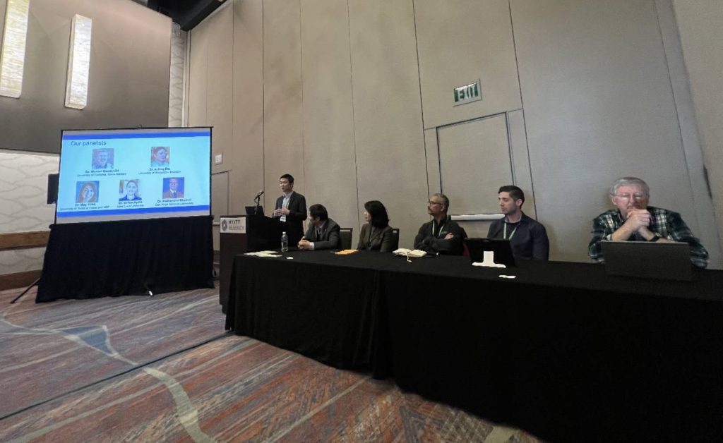
The Annual Meeting of the American Association of Geographers (AAG) in 2023 marked a five-year milestone since the first Geospatial Artificial Intelligence (GeoAI) Symposium was held at AAG in 2018. In the past five years, progress has been made while open questions remain. In this context, we organized an AAG panel and invited five panelists to discuss the advances and limitations in GeoAI research. The panelists commended the successes, such as the development of spatially explicit models, the production of large-scale geographic datasets, and the use of GeoAI to address real-world problems. The panellists also shared their thoughts on limitations in current GeoAI research, which were considered as opportunities to engage theories in geography, enhance model explainability, quantify uncertainty, and improve model generalizability. This article summarizes the presentations from the panellists and also provides after-panel thoughts from the organizers. We hope that this article can make these thoughts more accessible to interested readers and help stimulate new ideas for future breakthroughs.
CaGIS is the official publication of the Cartography and Geographic Information Society. The Society supports research, education, and practices that improve the understanding, creation, analysis, and use of maps and geographic information. The CaGIS journal implements the objectives of the Society by publishing authoritative peer-reviewed articles that report on innovative research in cartography and geographic information science.
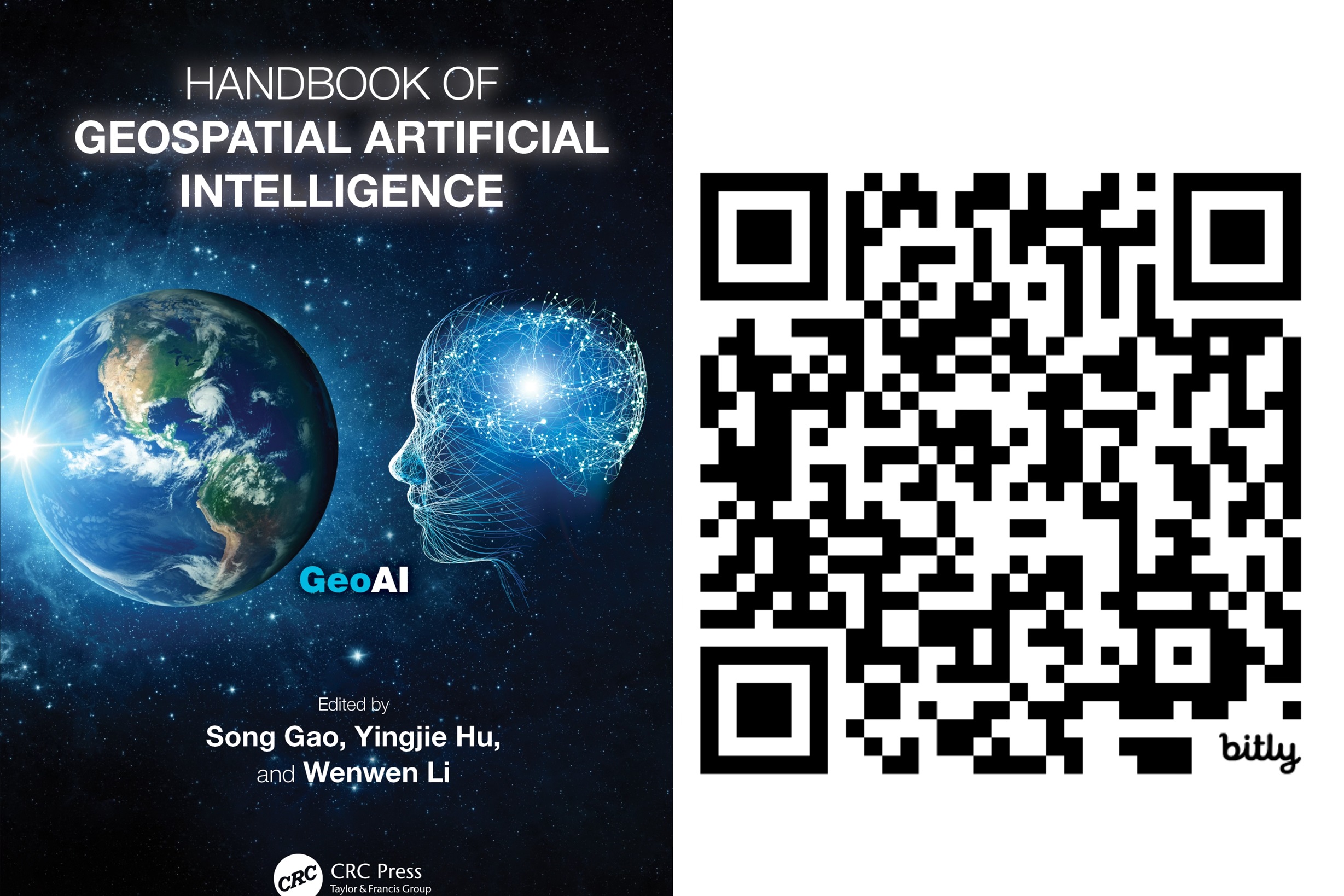
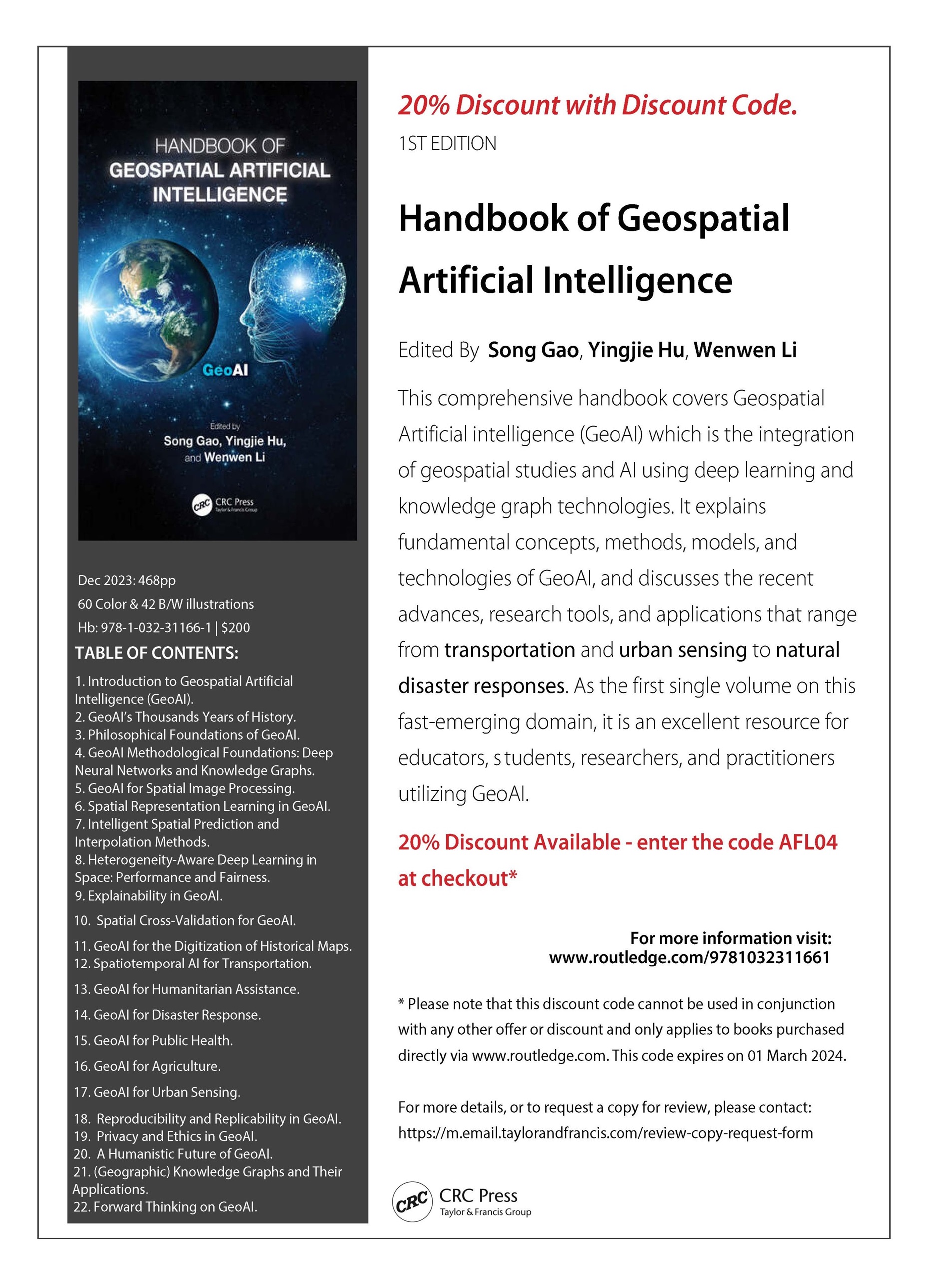
The new “Handbook of Geospatial Artificial Intelligence” edited by Drs. Song Gao (University of Wisconsin-Madison), Yingjie Hu (University at Buffalo), and Wenwen Li (Arizona State University) is now published and is available at the website of Taylor & Francis and a preview of the book is available here.
This handbook covers key fundamental concepts, methods, models, and technologies of GeoAI and discusses the recent advances, research tools, and applications that range from environmental observation and social sensing to public health and disaster responses. We hope this book can provide an organized resource for educators, students, researchers, and practitioners learning and using GeoAI.
By Philipe A. Dias, Thomaz Kobayashi-Carvalhaes, Sarah Walters, Tyler Frazier, Carson Woody, Sreelekha Guggilam, Daniel Adams, Abhishek Potnis, Dalton Lunga
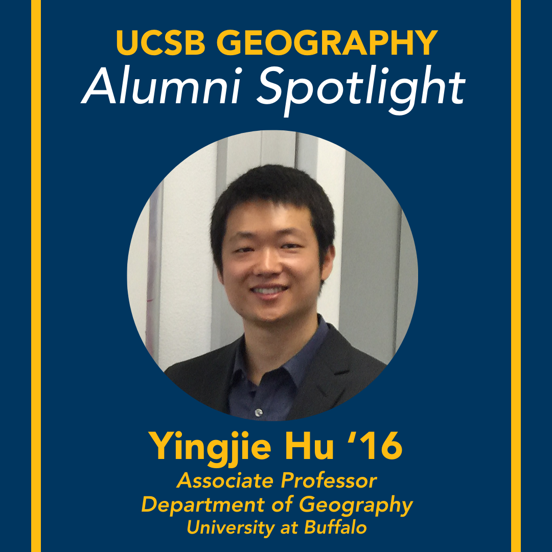
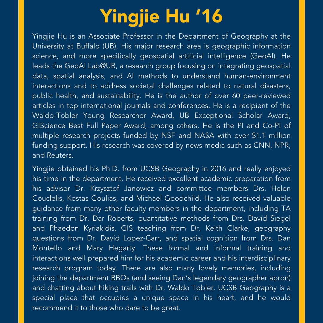
Dr. Hu was recently featured in the Alumni Spotlight of the Department of Geography at UCSB. Yingjie is very grateful for the academic training he received from UCSB Geography, and looks forward to continuing contributing to addressing societal challenges, training next-generation scholars, and serving communities.
Dr. Yingjie Hu was invited to join the editorial board of the International Journal of Geographical Information Science (IJGIS). IJGIS is a flagship journal for GIScience research, and it covers research topics including:
Innovations and novel applications of GIScience in natural resources, social systems and the built environment
Relevant developments in computer science, cartography, surveying, geography, and engineering
Fundamental and computational issues of geographic information
The design, implementation and use of geographical information for monitoring, prediction and decision making
Yingjie looks forward to continuing contributing to IJGIS and the GIScience community!
Social media messages posted by people during natural disasters often contain important location descriptions, such as the locations of victims. Recent research has shown that many of these location descriptions go beyond simple place names, such as city names and street names, and are difficult to extract using typical named entity recognition (NER) tools. While advanced machine learning models could be trained, they require large labeled training datasets that can be time-consuming and labor-intensive to create.
GPT models, such as GPT-3, ChatGPT, and GPT-4, are large-scale language models (LLMs) and foundation models that have received substantial attention recently. Taking just a few examples as the instruction (called a prompt), a GPT model is able to generate text that reads as if it was written by humans. While they are powerful, the current applications of GPT models are largely limited to conversation and text generation, and their social implications are controversial.
In this work, we aim to harness the power of GPT models for social good and propose a method that fuses geo-knowledge of location descriptions and a GPT model, such as ChatGPT and GPT-4. The result is a geo-knowledge-guided GPT model that can accurately extract location descriptions from disaster-related social media messages. Also, only 22 training examples encoding geo-knowledge are used in our method. We conduct experiments to compare this method with nine alternative approaches on a dataset of tweets from Hurricane Harvey. Our method demonstrates an over 40% improvement over typically used NER approaches. The experiment results also show that geo-knowledge is indispensable for guiding the behavior of GPT models. The extracted location descriptions can help disaster responders reach victims more quickly and may even save lives.